Melide causeway


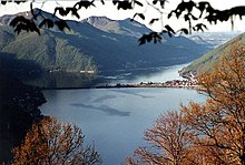
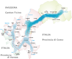
The Melide causeway, sometimes called the Melide bridge or Melide dam, is a causeway and bridge across Lake Lugano in the Swiss canton of Ticino. It links the communities of Melide and Bissone, and provides the only internal land connection between the southern section of Ticino, around Mendrisio and Chiasso, and the rest of Switzerland.[1]
Today the causeway carries the Gotthard railway, the A2 motorway, and a main road. A bridge within the causeway permits water flow and navigation between the two halves of Lake Lugano. The causeway makes use of a submerged glacial moraine, which stretches across the lake reducing its depth to around 10 metres (33 ft), as opposed to the lake's maximum depth of 288 metres (945 ft).[1][2]
The causeway was designed by Pasquale Lucchini, a self-taught Ticinese civil engineer, who arranged for large quantities of rock to be dumped on top of the moraine to create the causeway. The causeway was built between 1841 and 1847, and opened for road traffic in 1848. The railway was added to the causeway in 1872, and the motorway in 1980.[1][3][4]
References
- ^ a b c "Lake Lugano, Ticino". Swiss Pics. Swiss Federal Government. Retrieved 2012-08-16.
- ^ "Stato di Salute del Ceresio" (in Italian). Società Navigazione Lago di Lugano. Retrieved 2012-08-16.
{{cite web}}: Unknown parameter|trans_title=ignored (|trans-title=suggested) (help) - ^ "Lucchini, Pasquale". Historical Dictionary of Switzerland (in Italian). Retrieved 2012-08-16.
- ^ "The Great St. Gothard". EngRailHistory. Retrieved 2012-08-16.
External links
 Media related to Melide causeway at Wikimedia Commons

