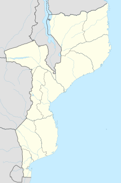
Mozambique Island Bridge
Appearance
Mozambique Island Bridge | |
|---|---|
 | |
| Coordinates | 15°02′40″S 40°42′33″E / 15.04444°S 40.70917°E |
| Carries | 1 lane |
| Crosses | Indian Ocean |
| Locale | Island of Mozambique |
| Maintained by | National Road Administration |
| Characteristics | |
| Material | Concrete bridge |
| Total length | 3,800 metres (12,500 ft) |
| History | |
| Construction end | 1969 |
| Location | |
 | |
Mozambique Island Bridge is a bridge in Mozambique that connects the Island of Mozambique, the former capital of colonial Portuguese East Africa to the mainland over the Indian Ocean.[1]
See also
References
- ^ "Rehabilitation of Mozambique Island Bridge Starts". Africa News Servi'. 27 July 2004. Retrieved 8 March 2013.
{{cite web}}: Italic or bold markup not allowed in:|publisher=(help)

