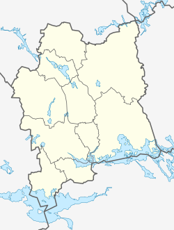
Munktorp
Munktorp | |
|---|---|
 Munktorp church | |
| Coordinates: 59°32′N 16°08′E / 59.533°N 16.133°E | |
| Country | Sweden |
| Province | Västmanland |
| County | Västmanland County |
| Municipality | Köping Municipality |
| Area | |
| • Total | 0.83 km2 (0.32 sq mi) |
| Population (31 December 2010)[1] | |
| • Total | 455 |
| • Density | 545/km2 (1,410/sq mi) |
| Time zone | UTC+1 (CET) |
| • Summer (DST) | UTC+2 (CEST) |
Munktorp is a locality situated in Köping Municipality, Västmanland County, Sweden with 455 inhabitants in 2010.[1]
Munktorp is the site of the historic Munktorp Church (Munktorps kyrka). The church is associated with St. David of Munktorp (David av Munktorp), an Anglo-Saxon monk of the 11th century. The oldest parts of the church date back to his lifetime. Munktorp Church is seventy metres long, with a triple nave and high tower. The church contains a medieval font beaten from bronze and an ancient southern door made of oak. The ambo, a pulpit that also serves as a lectern, is incorporated into a pillar. There is also an ancient carving of St. David of Munktorp.[2]
References
- ^ a b c "Tätorternas landareal, folkmängd och invånare per km2 2005 och 2010" (in Swedish). Statistics Sweden. 14 December 2011. Archived from the original on 10 January 2012. Retrieved 10 January 2012.
{{cite web}}: Unknown parameter|deadurl=ignored (|url-status=suggested) (help) - ^ Munktorp Church (Attractions in Köping)
External links


