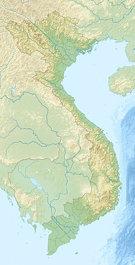
Ngọc Linh
Appearance
| Ngoc Linh | |
|---|---|
| Highest point | |
| Elevation | 2,598 m (8,524 ft) |
| Prominence | 2,079 m (6,821 ft)2208[1] |
| Listing | List of Ultras of Southeast Asia |
| Coordinates | 15°04′00″N 107°59′00″E / 15.06667°N 107.98333°E |
| Geography | |
| Location | Vietnam |
| Parent range | Annamite Range |
| Climbing | |
| First ascent | Unknown |
Ngọc Linh is a 2,598-metre high mountain of the Annamite Range in Vietnam. It straddles the two provinces of Quảng Nam and Kon Tum.[2] It is considered "the roof of Southern Vietnam".
Panax vietnamensis (Vietnamese: Sâm Ngọc Linh), found for the first time in 1973, is a species of ginseng in Nam Trung Bộ and Tây Nguyên regions of Vietnam, especially in mount Ngọc Linh.
References
- ^ Ngọc Linh - Peakbagger.com
- ^ Viet Nam Administrative Atlas. Cartographic Publishing House, Hanoi 2010
External links

