Niuatoputapu Airport
Appearance
Niuatoputapu Airport Mata'aho Airport | |||||||||||
|---|---|---|---|---|---|---|---|---|---|---|---|
| Summary | |||||||||||
| Airport type | Public | ||||||||||
| Owner | Government | ||||||||||
| Operator | Ministry of Civil Aviation[1] | ||||||||||
| Location | Hihifo, Niuatoputapu, Tonga | ||||||||||
| Coordinates | 15°58′36″S 173°47′30″W / 15.97667°S 173.79167°W | ||||||||||
| Website | www.tongaairports.com | ||||||||||
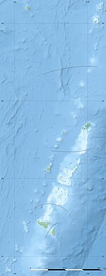
| Map | |||||||||||
| Runways | |||||||||||
| |||||||||||
Niuatoputapu Airport (IATA: NTT, ICAO: NFTP), also known as Mata'aho Airport, is an airport in Niuatoputapu, Tonga.
Damage to the airport from the 2009 Samoa earthquake and tsunami caused it to be temporarily closed following the disaster.[2] This disabled the rest of the country from providing aid to the Niuatoputapu residents as mud and debris on the runway made it unsuitable for any aircraft to land.
A small cinder block building acts as terminal and airport office. Fuel drums are located next to the terminal.
Connections to other parts of the island are made by taxi.[3]
| Airlines | Destinations |
|---|---|
| Real Tonga | Vava'u and Tongatapu[4] |
References

