Parc de la Cité
| Parc de la Cité | |
|---|---|
| Location | Saint-Hubert, Longueuil, Quebec, Canada |
| Coordinates | 45°29′10″N 73°24′32″W / 45.486°N 73.409°W |
| Area | 96 hectares (240 acres) |
| Operated by | City of Longueuil |
| Open | Year round, 7am to 11pm |
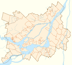
Parc de la Cité, is a large park in Longueuil, Quebec, Canada. It is located at 6205 Davis Boulevard in the borough of Saint-Hubert.
The park is 960,000 square metres (10,300,000 sq ft) in area. It includes a large grass-covered field, as well as 8 kilometres (5.0 mi) of trails, one of which leads to the Raymond-Lévesque Library.[1]
The Route Verte's La Montée du chemin de Chambly trail runs adjacent to the park.[1][2]
The park features a 1 square kilometre (0.39 sq mi) artificial lake, which serves as a retention basin, which is surrounded by wooded areas. A large hill overlooks the lake, and offers views of the surrounding area.[1]
The park was created in 1992 in order to build the retention basin, and soon became heavily frequented by nearby residents.[3]
It hosts many events each year, such as the local celebrations for the Fête national du Québec, as well as Lac en fête, and the grand concert presented by the Orchestre symphonique de Longueuil.[3]
References
- ^ a b c "Le parc de la Cité". Ville de Longueuil. Retrieved 7 November 2013.
- ^ "La montée du Chemin Chambly". Route Verte. Retrieved 7 November 2013.
- ^ a b Lachance, Gabrielle (2011-07-05). "Laissez-vous surprendre par le Parc de la Cité" (in French). Rive-Sud Express. Retrieved 7 November 2013.

