Perry Fire
Appearance
| Perry Fire | |
|---|---|
| Date(s) | July 29, 2018 – August 5, 2018 |
| Location | Reno, Nevada |
| Coordinates | 39°31′38″N 119°49′19″W / 39.52722°N 119.82194°W |
| Statistics[1] | |
| Burned area | 51,400 acres (208 km2)[1] |
| Impacts | |
| Deaths | 0 |
| Non-fatal injuries | 0 |
| Ignition | |
| Cause | Unknown |
| Map | |
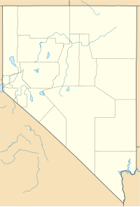
The Perry Fire was a wildfire that burned near Reno, Nevada. As of August 6, 2018, the fire had burned a total of 51,400 acres and was 100% contained.[2]
On August 5, 2018 the fire was 100% contained.[2]
Closures
[edit]Highway 446 is closed in the area.[3]
Evacuations
[edit]The Grass Valley Road Area is under evacuations.[3]
An evacuation center is open at Ironwood Event Center.[4]
References
[edit]- ^ a b "Perry Fire". InciWeb. US Forest Service. Retrieved 2018-07-30.
- ^ a b "Perry Fire Information". inciweb.nwcg.gov. Retrieved 2018-07-30.
- ^ a b "Update: Perry Fire grows overnight north of Reno; evacuations continue". Reno Gazette Journal. Retrieved 2018-07-30.
- ^ "Perry Fire tries to jump Whiskey Springs Road; crews turn it back". Retrieved 2018-07-30.

