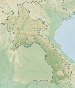
Phu Xai Lai Leng
Appearance
| Phu Xai Lai Leng | |
|---|---|
| Highest point | |
| Elevation | 2,720 m (8,920 ft) |
| Prominence | 1,623 m (5,325 ft) |
| Listing | Ultra |
| Coordinates | 19°12′N 104°11′E / 19.200°N 104.183°E |
| Geography | |
| Location | Laos – Vietnam border |
| Parent range | Annamite Range |
| Climbing | |
| First ascent | Unknown |
Phu Xai Lai Leng is a mountain of the Annamite Range in Southeast Asia. It is 2720 metres tall and sits on the international border between Laos and Vietnam. It is one of the ultra prominent peaks of Southeast Asia.[1]
See also
References

