
Rabacca Dry River
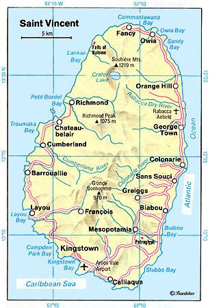
Template:Geobox The Rabacca Dry River is a river of Saint Vincent and the Grenadines. It is a seasonal river and will only flow like a normal when there is heavy rainfall. It is located on the outskirts of Georgetown. It was formed as a result of the eruption of the La Soufriere volcano, there is its source.
See also
References
- GEOnet Names Server
- Tourist Map
- Environmental Investigation and Cataloguing, St. Vincent Cross Country Road Project Final Report
13°17′N 61°07′W / 13.283°N 61.117°W