Rosdorf, Schleswig-Holstein
Appearance
This article includes a list of references, related reading, or external links, but its sources remain unclear because it lacks inline citations. (May 2013) |
Rosdorf | |
|---|---|
| Coordinates: 53°58′N 9°43′E / 53.967°N 9.717°E | |
| Country | Germany |
| State | Schleswig-Holstein |
| District | Steinburg |
| Municipal assoc. | Kellinghusen |
| Government | |
| • Mayor | Hauke Vollstedt |
| Area | |
• Total | 5.6 km2 (2.2 sq mi) |
| Elevation | 3 m (10 ft) |
| Population (2022-12-31)[1] | |
• Total | 370 |
| • Density | 66/km2 (170/sq mi) |
| Time zone | UTC+01:00 (CET) |
| • Summer (DST) | UTC+02:00 (CEST) |
| Postal codes | 25548 |
| Dialling codes | 04822 |
| Vehicle registration | IZ |
| Website | www.kellinghusen.de |
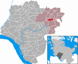
Rosdorf is a municipality in the district of Steinburg, in Schleswig-Holstein, Germany. It is located around 3 kilometres north of Kellinghusen and east of the Stör River. Rosdorf is situated in the Aukrug Nature Park. The federal highway Bundesstraße 206 from Lübeck to Itzehoe is about 4 kilometres south of Rosdorf.
References
[edit]


