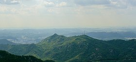
Samseongsan (Gyeonggi/Seoul)
| Samseongsan | |
|---|---|
 Location | |
| Highest point | |
| Elevation | 481 m (1,578 ft) |
| Coordinates | 37°25′54″N 126°55′49″E / 37.43167°N 126.93028°E |
| Geography | |
| Location | South Korea |
| Climbing | |
| Easiest route | Seoul National University |
| Korean name | |
| Hangul | |
|---|---|
| Hanja | |
| Revised Romanization | Samseongsan |
| McCune–Reischauer | Samsŏngsan |
Samseongsan is a mountain in South Korea. It extends across the districts of Gwanak-gu and Geumcheon-gu in Seoul, the national capital, and the city of Anyang, in the province of Gyeonggi-do. It has an elevation of 481 m (1,578 ft).
See also
37°25′54″N 126°55′49″E / 37.43167°N 126.93028°E

