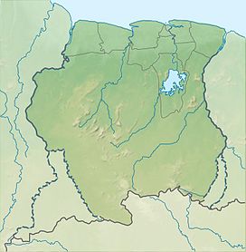
Tafelberg, Suriname
Appearance
| Tafelberg | |
|---|---|
| Highest point | |
| Elevation | 1,026 m (3,366 ft) |
| Coordinates | 3°54′30″N 56°10′20″W / 3.90833°N 56.17222°W |
| Geography | |
| Location | Sipaliwini District, Suriname |
| Parent range | Wilhelmina Mountains |
Tafelberg (literally "Table Mountain") is one of the highest mountains in Suriname at 1,026 metres (3,366 ft). It is a mesa and is part of the Tafelberg Nature Reserve. The mountain is in the Sipaliwini District. The Tafelberg Airstrip is nearby.
External links

