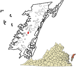
Tasley, Virginia

Tasley is a census-designated place (CDP) in Accomack County, Virginia, United States. The population as of the 2010 Census was 300.[1]
History
At one time, Tasley was a bustling railroad town, boasting the first electric power plant, first paved road and first self organized volunteer fire company in the county.[2] The Shore's main highway, U.S. Route 13, ran right through the middle of town. Steamships from Baltimore docked at nearby Onancock; the produce and goods were carried from there to Tasley's busy rail station for fast shipment. In its heyday Tasley boasted three restaurants, four general stores, a hotel, post office, rail station, four general stores, two tractor dealerships, two sawmills, volunteer fire company, post office, ice plant, coal sales car dealerships, several produce grading sheds and power plant.
When the railroad ceased passenger service in 1958, the town was dealt a blow, but the coming of the Route 13 bypass in the mid 1960s robbed Tasley of its commercial and industrial status.
References
- ^ Virginia Trend Report 2: State and Complete Places (Sub-state 2010 Census Data). Missouri Census Data Center. Accessed 2011-06-08.
- ^ Eastern Shore News March 12, 1997

