
Template:Imagemap Germany district KEH
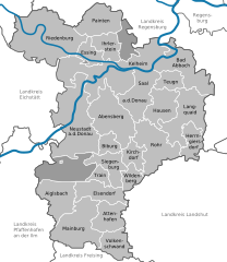
This template creates a clickable image map showing a district and its municipalities. The code at the end of the file name (e.g. "DÜW" or "CE") is the licence plate code of the specific district (complete list at German Wikipedia). The template can be used in several ways:
- standard map, standard size (240x240px): {{Imagemap Germany district DÜW}}
- map with a municipality highlighted, standard size (240x240px): {{Imagemap Germany district DÜW|Neidenfels in DÜW.svg}}
- map with municipality highlighted, different size: {{Imagemap Germany district DÜW|Neidenfels in DÜW.svg|300px}}
- map with municipality highlighted, different size, thumb image, with caption: {{Imagemap Germany district DÜW|Neidenfels in DÜW.svg|300px{{!}}thumb{{!}}Neidenfels in its district}}
Available maps with highlighted municipalities can be found in the subcategories of commons:Category:Locator maps of municipalities in Germany.