Tronadora
Tronadora | |
|---|---|
Village and district | |
 | |
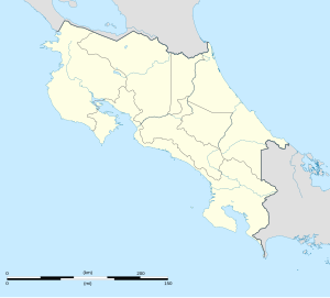
| Coordinates: 10°30′0″N 84°56′0″W / 10.50000°N 84.93333°W | |
| Country | |
| Province | Guanacaste Province |
| Canton | Tilaran |
| Government | |
| • Syndic | Víctor Hugo González Sáenz (PUSC) |
| • Substitute syndic | vacant |
| Elevation | 2,014 ft (614 m) |
| Time zone | UTC-6 (UTC -6) |
| Postal code | 50803 |
Nuevo Tronadora de Tilarán is a village and district in Tilarán Canton in the Guanacaste Province, Costa Rica. It is located on the west shore of Lake Arenal. It is connected by road to Tejona and Tilarán along Route 142.[1] Roughly 3 miles down the coast of Lake Arenal to the west is the Tilawa Viento Surf Center.The weather is changeable due to the proximity of the confluence of the Pacific coast weather pattern and the inland lake weather pattern. It is drier and cooler than the Pacific coast due to the elevation of 614 meters (2014 feet).
References
- ^ Baker, C.P. (2005). Costa Rica. Dorling Kindersley Eye Witness Travel Guides. p. 150.
External links

