Trongfjord
Appearance
| Trongfjorden | |
|---|---|
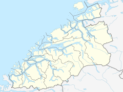
Location in Møre og Romsdal | |
| Location | Nordmøre, Møre og Romsdal |
| Coordinates | 62°58′54″N 8°18′48″E / 62.9818°N 8.3132°E |
| Basin countries | Norway |
| Max. length | 4 kilometres (2.5 mi) |
Trongfjorden is a fjord between Surnadal Municipality and Tingvoll Municipality in Møre og Romsdal county, Norway. The fjord is approximately 4 kilometres (2.5 mi) long and is a continuation of the Halsafjorden on the north end near Torjulvågen in Tingvoll. On the south end, the fjord branches off into several other fjord arms: Hamnesfjorden, Surnadalsfjorden, Stangvikfjorden, and Ålvundfjorden.[1]
References
- ^ "Trongfjorden" (in Norwegian). yr.no. Retrieved 2010-12-02.

