Turakina, New Zealand
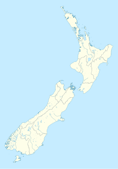
Turakina is an old Māori settlement situated southeast of Whanganui city on the North Island of New Zealand. Turakina village derives its name from the Turakina River, which cut its passage to the sea from a spring on Mount Ruapehu. The original inhabitants of the area were the descendants of the Kahui Rere and the Kahui Maunga, later naming themselves Ngā Wairiki. However, after the migration of Ngāti Apa from the Bay of Plenty toward Rotoaira then south to the Rangitikei river, they found themselves slowly being taken over by generations of intermarriage with the latter tribe. The Hapū or subtribe living continuously at Turakina to the present day is Ngā Āriki, who have two marae not far from each other on the beach road, Tini Waitara and Kahurauponga.
Scottish settlers arrived in the area in the 19th century, and their descendants still live there to the present day. Many Māori families intermarried with the Scottish also. Celtic feeling is still strong in Turakina; for example, Highland games are held every year late January, attracting many from around New Zealand.
Turakina is notable as the site of the first of New Zealand's Children's Health Camps[1], inaugurated by Dr. Elizabeth Gunn in November 1919.[The kauri and the willow : how we lived and grew from 1801-1942 / Elsie Locke. Wellington[N.Z. Government Printer, 1984. pp.159-163]
40°02′S 175°13′E / 40.033°S 175.217°E

