User:Bri/Blue Hills gallery
Appearance
< User:Bri
Pretty pictures
[edit]


Imagemap test with other-article links
[edit]Refer: List of mountains and hills of Kitsap County, Washington

Imagemap test with in-article links
[edit]Refer: List of mountains and hills of Kitsap County, Washington

Peaks visible in this picture, left to right:
- Kitsap Lookout: el. 1370 feet. Appears higher because it is closer. [But not in imagemap.]
- Gold Mountain: el. 1761 feet. Highest summit. Antenna farm.
- Green Mountain: el. 1710 feet. Summit publicly accessible.
- Peak 730: el. 730 feet.
- Peak 1330: el. 1330 feet.
Entries now link to the Kitsap County list. Using {{vanchor}} in various ways.
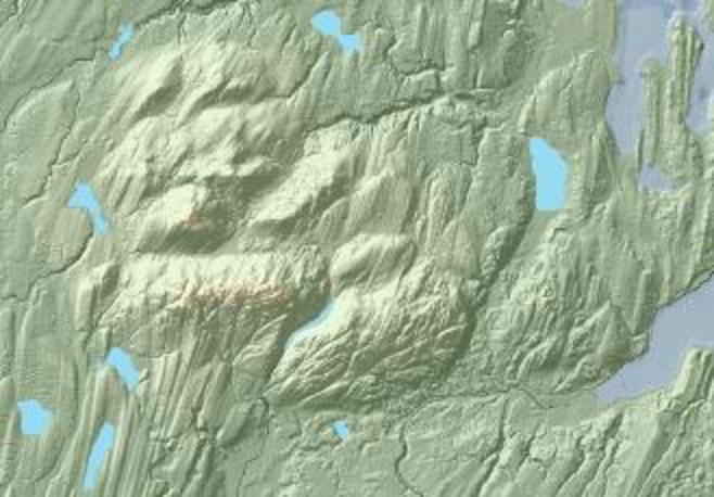
Imagemap from LIDAR
[edit]500 px image

400 px image

300 px image

Two more candidate map images
[edit]From from some CC licensed imagery (Finalyson et al. 2000):

From USGS geological map in WSP 1413:

I'm somewhat undecided which would be better. -JJ
