
User:Detcin/Sandbox6
SR 309 begins at an interchange with US 30, east of Delphos. The highway heads south as a two-lane highway, passing through farmland. The road turns southeasterly and parallels the Chicago, Fort Wayne and Eastern Railroad tracks. The highway enters Elida and passes through commercial properties, as a four-lane highway. The road enters [[Lima, Ohio|Lima] and curves due south, crossing the Chicago, Fort Wayne and eastern railroad tracks.
History
[edit]The SR 309 corridor was originally signed as SR 10, in 1923.[1][2][3] In 1926 US 30 was commissioned to follow SR 10 from Delphos to Mansfield.[4][5] The route was divided in 1932, with US 30S following current SR 309 and US 30N following the Lincoln Highway, the current US 30 corridor.[6][7] The divided routes were removed in 1974 with SR 309 replacing US 30S and US 30 replacing US 30N.[8][9][10][11][12][13][14]
- ^ Ohio Department of Highways and Public Works (April 1922). Map of Ohio State Highways Showing All Improved Roadways and Indicating System Constructed Under Administration of Gov. Harry L. Davis (PDF) (Map). c. 1:563,200. Columbus: Ohio Department of Highways and Public Works. Retrieved August 26, 2013.
- ^ Ohio Department of Highways and Public Works (July 1923). Map of Ohio Showing State Routes (PDF) (Map). 1:760,320. Columbus: Ohio Department of Highways and Public Works. Retrieved August 26, 2013.
- ^ Ohio Department of Highways and Public Works (August 1924). Map of Ohio Showing State Routes (PDF) (Map). 1:760,320. Columbus: Ohio Department of Highways and Public Works.
- ^ Ohio Department of Highways and Public Works (August 1925). Map of Ohio Showing State Routes (PDF) (Map). 1:760,320. Columbus: Ohio Department of Highways and Public Works. OCLC 5673562. Retrieved August 26, 2013.
- ^ Ohio Department of Highways and Public Works (August 1, 1926). Map of Ohio Showing State Routes (PDF) (Map). 1:760,320. Columbus: Ohio Department of Highways and Public Works. OCLC 5673562. Retrieved August 26, 2013.
- ^ Ohio Department of Highways (1931). Map of Ohio Showing State Highway System (PDF) (Map). 1:760,320. Columbus: Ohio Department of Highways. OCLC 5673562, 7231737. Retrieved August 26, 2013.
- ^ Ohio Department of Highways (1932). Map of Ohio Showing State Highway System (PDF) (Map). 1:760,320. Columbus: Ohio Department of Highways. OCLC 5673562, 7231704. Retrieved August 26, 2013.
- ^ Ohio Department of Transportation (1973). Ohio Transportation Map (PDF) (Map). 1:554,400. Columbus: Ohio Department of Transportation. OCLC 5673562. Retrieved August 26, 2013.
- ^ Ohio Department of Transportation (1974). Ohio Transportation Map (PDF) (Map). 1:554,400. Columbus: Ohio Department of Transportation. OCLC 5673562. Retrieved August 26, 2013.
- ^ Ohio Department of Highways (1945). Ohio Highway Map (PDF) (Map). 1:633,600. Columbus: Ohio Department of Highways. OCLC 5673562. Retrieved September 11, 2013.
- ^ Ohio Department of Highways (1955). Ohio Highway Map (PDF) (Map). 1:633,600. Columbus: Ohio Department of Highways. OCLC 5673562, 7448742. Retrieved September 12, 2013.
- ^ Ohio Department of Transportation (1975). Ohio Transportation Map (PDF) (Map). 1:554,400. Columbus: Ohio Department of Transportation. § A3&B3. OCLC 5673562. Retrieved September 12, 2013.
- ^ Ohio Department of Transportation (June 1999). Official Ohio Transportation Map (PDF) (Map) (1999–2000 ed.). c. 1:696,960. Columbus: Ohio Department of Transportation. § A3&B3. OCLC 5673562, 31884639. Retrieved September 12, 2013.
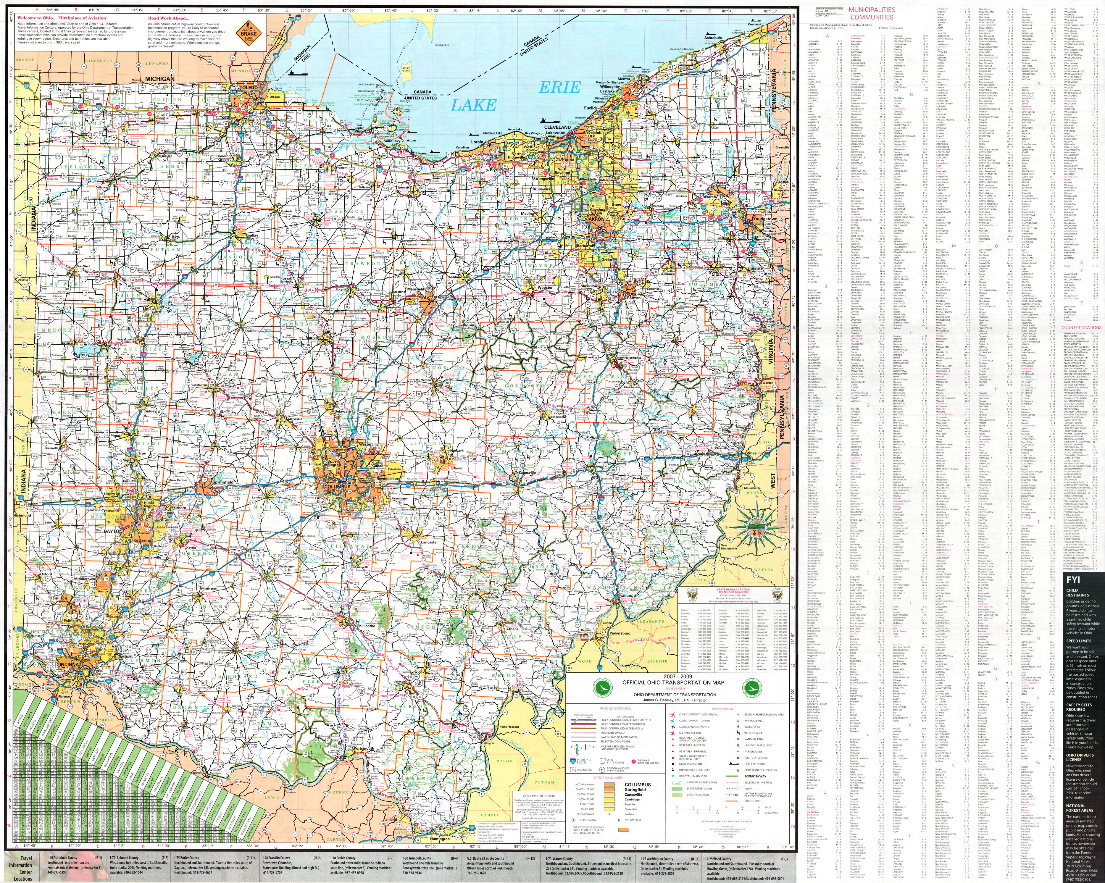
- ^ Ohio Department of Transportation (January 2007). Official Ohio Transportation Map (Map) (2007–2009 ed.). c. 1:570,240. Columbus: Ohio Department of Transportation. § A3&B3. OCLC 5673562, 31884639. Retrieved September 12, 2013.