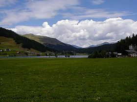
Wolfgang Pass
| Wolfgang Pass | |
|---|---|
 Wolfgang Pass | |
| Elevation | 1,631 m (5,351 ft) |
| Traversed by | Road and rail |
| Location | Graubünden, Switzerland |
| Range | Alps |
| Coordinates | 46°50′N 09°51′E / 46.833°N 9.850°E |
Wolfgang Pass (also known as Wolfgang pass auf[1]) (el. 1631 m.) is a high mountain pass in the Alps in the canton of Graubünden in Switzerland.
It connects Klosters and Davos with Davos being almost level with the pass. The pass road has a maximum grade of 10 percent and is kept open year-round.
A line of the Rhaetian Railway also crosses the pass since 1890.
The pass is comparatively low as a mountain pass and was historically used also for international trade via the southern adjacent Scaletta Pass and later via the newly built road across Flüela pass from 1868. This road is still closed nowadays in winter and motorists are forced to use the Car shuttle train through the Vereina tunnel (or drive a long detour via Julier pass).
See also
References
- ^ Bär, Oskar (1979). Geographie der Schweiz. Lehrmittelverlag des Kanton Zürich. pp. 31f.
External links
- Wolfgang Pass in Romansh, German, French and Italian in the online Historical Dictionary of Switzerland.
- international hike on historic route Hiking Switzerland passes in Graubünden on old trading route.

