Château-Thierry – Belleau Aerodrome
(Redirected from XCY)
You can help expand this article with text translated from the corresponding article in French. (August 2012) Click [show] for important translation instructions.
|
Château-Thierry - Belleau Aerodrome Aérodrome de Château-Thierry - Belleau | |||||||||||
|---|---|---|---|---|---|---|---|---|---|---|---|
 | |||||||||||
| Summary | |||||||||||
| Airport type | Public | ||||||||||
| Operator | Club aéronautique de Château Thierry | ||||||||||
| Serves | Château-Thierry, France | ||||||||||
| Location | Belleau | ||||||||||
| Elevation AMSL | 723 ft / 220 m | ||||||||||
| Coordinates | 49°04′00″N 003°21′20″E / 49.06667°N 3.35556°E | ||||||||||
| Map | |||||||||||
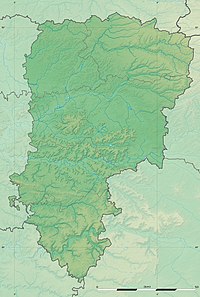
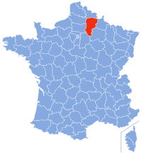
Location of airport in Aisne department | |||||||||||
| Runways | |||||||||||
| |||||||||||
Château-Thierry – Belleau Aerodrome (French: Aérodrome de Château-Thierry - Belleau) (ICAO: LFFH) is an aerodrome or airport located 3 km (2 NM) northwest of Château-Thierry[1] and southeast of Belleau, both communes in the Aisne department of the Picardy (Picardie) region in France.
Facilities[edit]
The airport resides at an elevation of 723 feet (220 m) above mean sea level. It has one runway designated 04/22 with a grass surface measuring 930 by 50 metres (3,051 ft × 164 ft).[1]
The airport is not controlled. The communications frequency is 120.375 MHz, which is shared with the nearby Soissons-Courmelles Aerodrome.
References[edit]
- ^ a b c LFFH – CHÂTEAU-THIERRY BELLEAU. AIP from French Service d'information aéronautique, effective 18 April 2024.
External links[edit]
- (in French) Aéroclub de CHATEAU THIERRY
- Airport information for LFFH at Great Circle Mapper.
- Accident history for LFFH at Aviation Safety Network


