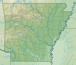
Lake Windsor
Appearance
| Lake Windsor | |
|---|---|
 | |
| Location | Benton County, Arkansas, United States |
| Coordinates | 36°28′12″N 94°15′31″W / 36.47000°N 94.25861°W |
| Type | Reservoir[1] |
| Basin countries | United States |
| Surface elevation | 1,060 feet (320 m)[1] |
Lake Windsor is a man-made lake in the Bella Vista area of Benton County in northwest Arkansas, United States.[1][2] The lake is on Tanyard Creek just upstream from its confluence with Little Sugar Creek.[3]
References
- ^ a b c U.S. Geological Survey Geographic Names Information System: Lake Windsor
- ^ Arkansas Atlas & Gazetteer, DeLorme, 2004, 2nd edition, p. 22, ISBN 0-89933-345-1
- ^ Hiwasse, Arkansas, 7.5 Minute Topographic Quadrangle, USGS, 1971 (1982 rev.)

