Shanlinxi Forest Recreation Area
| Shanlinxi Forest Recreation Area Chinese: 杉林溪森林生態渡假園區 | |
|---|---|
 | |
| Map | |
| Geography | |
| Location | Zhushan, Nantou County, Taiwan |
| Coordinates | 22°41′32.9″N 120°59′23.0″E / 22.692472°N 120.989722°E |
| Elevation | 1,600-1,800 meters |
| Area | 40 hectares |
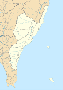
Shanlinxi Forest Recreation Area or Sun Link Sea Forest Recreation Area (traditional Chinese: 杉林溪森林生態渡假園區; simplified Chinese: 杉林溪森林生态渡假园区; pinyin: Shānlínxī Sēnlín Shēngtài Dùjiǎ Yuánqū) is a forest in Zhushan Township, Nantou County, Taiwan.[1]
Geography
The forest is located at an elevation of 1,600-1,800 meters above sea level with an area of 40 hectares. It consists of herb and flower garden as well as three waterfalls, namely Qingyun Waterfall, Niaosong Waterfall and Water Curtain Cave Waterfall.[2]
Facilities
The forest features campsites and wooden cottages.[2]
Transportation
The forest is accessible by bus from Taichung Station of Taiwan Railways.[2]
See also
References
- ^ Everington, Keoni (21 November 2017). "Dawn redwoods turning yellow now in central Taiwan". Taiwan News. Retrieved 22 November 2017.
- ^ a b c "Sun Link Sea Forest Recreation Area". Taiwan, The Heart of Asia. 21 October 2022. Retrieved 4 November 2022.
Wikimedia Commons has media related to Sun Link Sea.

