
File:Ethiopia relief location map.jpg

Size of this preview: 740 × 600 pixels. Other resolutions: 296 × 240 pixels | 592 × 480 pixels | 947 × 768 pixels | 1,263 × 1,024 pixels | 1,966 × 1,594 pixels.
Original file (1,966 × 1,594 pixels, file size: 709 KB, MIME type: image/jpeg)
| This is a file from the Wikimedia Commons. Information from its description page there is shown below. Commons is a freely licensed media file repository. You can help. |
| Description |
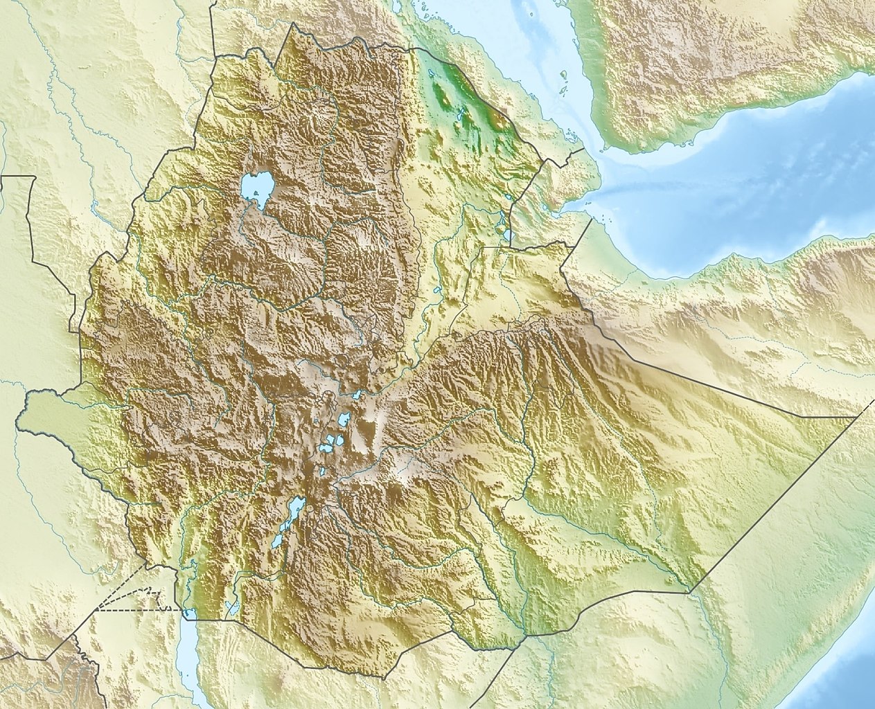
Deutsch: Physische Positionskarte von Äthiopien
Quadratische Plattkarte, N-S-Streckung 102 %. Geographische Begrenzung der Karte:
English: Physical location map of Ethiopia
Equirectangular projection, N/S stretching 102 %. Geographic limits of the map:
|
| Date | |
| Source | Own work, using map data from administrative map by NordNordWest. The relief was created from SRTM-30 relief data |
| Author | Carport |
| Permission (Reusing this file) |
This file is licensed under the Creative Commons Attribution-Share Alike 3.0 Unported license.
|
| Other versions |
|

File history
Click on a date/time to view the file as it appeared at that time.
| Date/Time | Thumbnail | Dimensions | User | Comment | |
|---|---|---|---|---|---|
| current | 15:38, 13 October 2021 | | 1,966 × 1,594 (709 KB) | Gebagebo | Added dotted line to indicate Somaliland |
| 13:57, 29 September 2011 |  | 1,638 × 1,328 (1.12 MB) | NordNordWest | + South Sudan | |
| 17:32, 15 March 2010 |  | 1,638 × 1,328 (1.22 MB) | Carport | {{Information |Description={{de|Physische Positionskarte von {{w|Äthiopien|3=de}}}} Quadratische Plattkarte, N-S-Streckung 102 %. Geographische Begrenzung der Karte: * N: 15.3° N * S: 2.9° N * W: 32.7° O * O: 48.3° O {{en|Physical location map of {{w |
File usage
More than 100 pages use this file. The following list shows the first 100 pages that use this file only. A full list is available.
- Abaya (woreda)
- Abijatta-Shalla National Park
- Abul Kasim (mountain)
- Abuye Meda
- Adabay River
- Adama
- Addis Ababa
- Adwa (volcano)
- Afdera (volcano)
- Alu (Ethiopia)
- Aluto
- Amba Alagi
- Amba Aradam
- Amba Geshen
- Arero
- Asavyo
- Awash National Park
- Axum
- Babile Elephant Sanctuary
- Bale Mountains National Park
- Battle of Adwa
- Borale Ale
- Chelbi Wildlife Reserve
- Dabbahu Volcano
- Dalaffilla
- Didessa National Park
- Dire Dawa Airport
- Doba (woreda)
- Erta Ale
- Ethiopia
- Ethiopian Highlands
- Fasil Ghebbi
- Gada Ale
- Gambella National Park
- Germama River
- Gilgel Gibe III Dam
- Gilgel Gibe I Dam
- Gog (woreda)
- Grand Ethiopian Renaissance Dam
- Gughe
- Hadar, Ethiopia
- Injibara
- Koka Reservoir
- Kundudo
- Kuni-Muktar Mountain Nyala Sanctuary
- Lake Abaya
- Lake Abijatta
- Lake Afambo
- Lake Afrera
- Lake Ardibbo
- Lake Ashenge
- Lake Bario
- Lake Basaka
- Lake Chamo
- Lake Chew Bahir
- Lake Gummare
- Lake Hawassa
- Lake Hayq
- Lake Karum
- Lake Langano
- Lake Shala
- Lake Tana
- Lake Ziway
- List of power stations in Ethiopia
- Logiya River
- Mago National Park
- Mallahle
- Manda Hararo
- Melka Kunture
- Middle Awash
- Mount Abuna Yosef
- Mount Alayta
- Mount Batu
- Mount Bwahit
- Mount Chilalo
- Mount Choqa
- Mount Dama Ali
- Mount Dendi
- Mount Fentale
- Mount Guna
- Mount Hazalo
- Mount Tullu Dimtu
- Mount Welel
- Mount Zuqualla
- Mugher Mudstone
- Nechisar National Park
- O'a Caldera
- Omo National Park
- Omo River
- Ras Dashen
- Senkelle Swayne's Hartebeest Sanctuary
- Shungura Formation
- Simien Mountains
- Simien Mountains National Park
- Sork Ale
- Tekezé Dam
- Usno Formation
- Walaqa River
- Yabelo Wildlife Sanctuary
- Yangudi Rassa National Park
View more links to this file.
Global file usage
The following other wikis use this file:
- Usage on ar.wikipedia.org
- Usage on arz.wikipedia.org
- Usage on ast.wikipedia.org
- Usage on ban.wikipedia.org
- Usage on bn.wikipedia.org
- Usage on br.wikipedia.org
- Usage on bs.wikipedia.org
- Usage on ca.wikipedia.org
- Usage on ceb.wikipedia.org
- Usage on ce.wikipedia.org
- Usage on ckb.wikipedia.org
- Usage on cs.wikipedia.org
- Ras Dašen
- Adwa (sopka)
- Národní park Simienské hory
- Erta Ale
- Šablona:LocMap Etiopie
- Afdera
- Wikipedie:WikiProjekt Česko-slovenská Wikipedie/Přeložené články/2014-02/Galerie
- Mount Ayalu
- Alajta
- Asavjo
- Alu (sopka)
- Dalaffilla
- Amajtoli Tärara
- Asdaga
- Bilate Šet
- Bishoftu (sopečné pole)
- Boina (fumarolové pole)
- Bora-Bericcio
- Borale Ale
- Borawli
- Boset-Beriča
- Butadžiri-Silti
- Beru
- Corbetti
- Dabbahu
- Dabbajra
- Dallol (sopka)
View more global usage of this file.