
Greemakolo: Difference between revisions
Content deleted Content added
Reverted good faith edits by 64.231.90.25 (talk); WP:OR, please source. (TW) |
YoshiPlanet (talk | contribs) No edit summary |
||
| Line 83: | Line 83: | ||
}} |
}} |
||
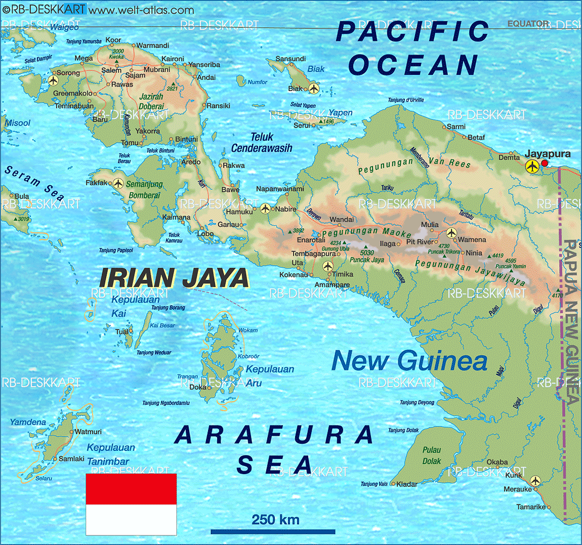
'''Greemakolo''' is a village in [[West Papua (province)|West Papua]], [[Indonesia]]. The village is located in the southwestern-central part of the [[Bird's Head Peninsula]], northeast of [[Teminabuan]].<ref>[http://www.welt-atlas.de/datenbank/karten/karte-6-659.gif Welt Atlas]</ref> |
'''Greemakolo''' is a village in [[West Papua (province)|West Papua]], [[Indonesia]]. The village is located in the southwestern-central part of the [[Bird's Head Peninsula]], northeast of [[Teminabuan]].<ref>[http://www.welt-atlas.de/datenbank/karten/karte-6-659.gif Welt Atlas]</ref> |
||
A dirt road connects it to [[Rawas]] in the northeast. |
A dirt road connects it to [[Rawas]] in the northeast. The village is also close to a group of lakes called the Ayamaru Lakes. |
||
==References== |
==References== |
||
{{Reflist}} |
{{Reflist}} |
||
Revision as of 17:37, 18 May 2011
Greemakolo | |
|---|---|
Village | |
| Country | Indonesia |
| Province | West Papua |
| Regency | Sorong Regency |
| Time zone | UTC+7 (WIB) |
Greemakolo is a village in West Papua, Indonesia. The village is located in the southwestern-central part of the Bird's Head Peninsula, northeast of Teminabuan.[1] A dirt road connects it to Rawas in the northeast. The village is also close to a group of lakes called the Ayamaru Lakes.
References
This Papua location article is a stub. You can help Wikipedia by expanding it. |