
Balesar Durgawatan: Difference between revisions
JJMC89 bot (talk | contribs) Migrate {{Infobox settlement}} coordinates parameters to {{Coord}}, see Wikipedia:Coordinates in infoboxes |
Rescuing 2 sources and tagging 0 as dead. #IABot (v1.4) |
||
| Line 55: | Line 55: | ||
}} |
}} |
||
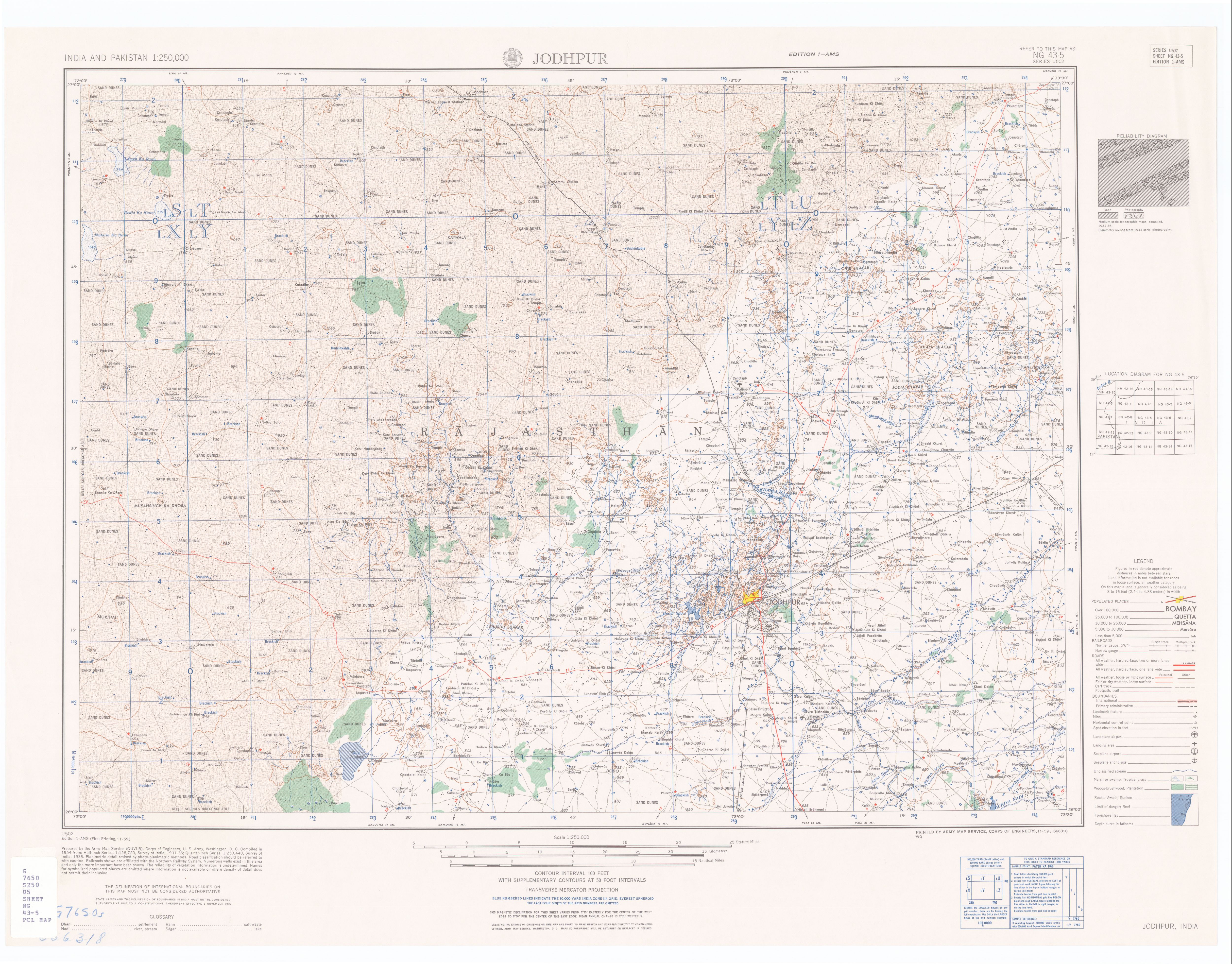
''' Balesar Durgawatan ''' is a [[panchayat village]]<ref>2011 Village Panchayat Code for Balesar Durgawatan = 35584, {{Cite web|title=Reports of National Panchayat Directory: Village Panchayat Names of Balesar, Jodhpur, Rajasthan|publisher=Ministry of Panchayati Raj, Government of India|url=http://panchayatdirectory.gov.in/adminreps/viewpansumSQL.asp?selstate=721&parenttype=B&ptype=V}}</ref> in the state of [[Rajasthan]], [[India]],<ref name="censusindia">2001 Census Village code for Balesar Durgawatan = 01984600, {{Cite web|title=2001 Census of India: List of Villages by Tehsil: Rajasthan|publisher=Registrar General & Census Commissioner, India|page=395|url=http://censusindia.gov.in/Census_Data_2001/PLCN/DIR-08r.pdf|archiveurl=https://web.archive.org/web/20111113194734/http://www.censusindia.gov.in/Census_Data_2001/PLCN/DIR-08r.pdf|archivedate=13 November 2011|deadurl=no}}</ref><ref name="Panchayat-Dir-2011">2011 Census Village code for Balesar Durgawatan = 085382, {{Cite web|title=Reports of National Panchayat Directory: List of Census Villages mapped for: Balesar Durgawatan Gram Panchayat, Balesar, Jodhpur, Rajasthan |publisher=Ministry of Panchayati Raj, Government of India |url=http://panchayatdirectory.gov.in/adminreps/viewGPmapcvills.asp?gpcode=35584&rlbtype=V |deadurl=yes |archiveurl=https://web.archive.org/web/20130514202546/http://panchayatdirectory.gov.in/adminreps/viewGPmapcvills.asp?gpcode=35584&rlbtype=V |archivedate=2013-05-14 |df= }}</ref><ref>{{Citation|date=November 1959|title=Jodhpur India, Sheet NG 43-05|series=Series U-502|publisher=United States Army Map Service|format=topographic map, scale 1:250,000|url=http://www.lib.utexas.edu/maps/ams/india/ng-43-05.jpg}}</ref> Administratively, Balesar Durgawatan is under [[Balesar tehsil]] of [[Jodhpur District]] in Rajasthan.<ref name="Panchayat-Dir-2011" /> |
''' Balesar Durgawatan ''' is a [[panchayat village]]<ref>2011 Village Panchayat Code for Balesar Durgawatan = 35584, {{Cite web|title=Reports of National Panchayat Directory: Village Panchayat Names of Balesar, Jodhpur, Rajasthan |publisher=Ministry of Panchayati Raj, Government of India |url=http://panchayatdirectory.gov.in/adminreps/viewpansumSQL.asp?selstate=721&parenttype=B&ptype=V |deadurl=yes |archiveurl=https://web.archive.org/web/20130514200850/http://panchayatdirectory.gov.in/adminreps/viewpansumSQL.asp?selstate=721&parenttype=B&ptype=V |archivedate=2013-05-14 }}</ref> in the state of [[Rajasthan]], [[India]],<ref name="censusindia">2001 Census Village code for Balesar Durgawatan = 01984600, {{Cite web|title=2001 Census of India: List of Villages by Tehsil: Rajasthan|publisher=Registrar General & Census Commissioner, India|page=395|url=http://censusindia.gov.in/Census_Data_2001/PLCN/DIR-08r.pdf|archiveurl=https://web.archive.org/web/20111113194734/http://www.censusindia.gov.in/Census_Data_2001/PLCN/DIR-08r.pdf|archivedate=13 November 2011|deadurl=no}}</ref><ref name="Panchayat-Dir-2011">2011 Census Village code for Balesar Durgawatan = 085382, {{Cite web|title=Reports of National Panchayat Directory: List of Census Villages mapped for: Balesar Durgawatan Gram Panchayat, Balesar, Jodhpur, Rajasthan |publisher=Ministry of Panchayati Raj, Government of India |url=http://panchayatdirectory.gov.in/adminreps/viewGPmapcvills.asp?gpcode=35584&rlbtype=V |deadurl=yes |archiveurl=https://web.archive.org/web/20130514202546/http://panchayatdirectory.gov.in/adminreps/viewGPmapcvills.asp?gpcode=35584&rlbtype=V |archivedate=2013-05-14 |df= }}</ref><ref>{{Citation|date=November 1959|title=Jodhpur India, Sheet NG 43-05|series=Series U-502|publisher=United States Army Map Service|format=topographic map, scale 1:250,000|url=http://www.lib.utexas.edu/maps/ams/india/ng-43-05.jpg}}</ref> Administratively, Balesar Durgawatan is under [[Balesar tehsil]] of [[Jodhpur District]] in Rajasthan.<ref name="Panchayat-Dir-2011" /> |
||
There are two villages in the Balesar Durgawatan [[gram panchayat]]: '''Balesar Durgawatan''' and Deonagar.<ref name="Panchayat-Dir-2011" /> |
There are two villages in the Balesar Durgawatan [[gram panchayat]]: '''Balesar Durgawatan''' and Deonagar.<ref name="Panchayat-Dir-2011" /> |
||
| Line 69: | Line 69: | ||
== External links == |
== External links == |
||
* {{Cite web|title=Official Website of Jodhpur District|url=http://Jodhpur.nic.in}} |
* {{Cite web|title=Official Website of Jodhpur District |url=http://Jodhpur.nic.in |deadurl=yes |archiveurl=https://web.archive.org/web/20130523045929/http://jodhpur.nic.in/ |archivedate=2013-05-23 }} |
||
{{Clear}} |
{{Clear}} |
||
Revision as of 03:55, 14 July 2017
Balesar Durgawatan
बालेसर दुर्गावता Durgawatoas, Balesar D. | |
|---|---|
town | |
 Balesar Durgawatan Location in Rajasthan, India  Balesar Durgawatan Balesar Durgawatan (India) | |
| Coordinates: 26°27′09″N 72°33′31″E / 26.45250°N 72.55861°E | |
| Country | |
| State | Rajasthan |
| District | Jodhpur |
| Tahsil | Balesar |
| Population (2001) | |
| • Total | 5,221 |
| Languages | |
| Time zone | UTC+5:30 (IST) |
| ISO 3166 code | RJ-IN |
| Vehicle registration | RJ |
Balesar Durgawatan is a panchayat village[1] in the state of Rajasthan, India,[2][3][4] Administratively, Balesar Durgawatan is under Balesar tehsil of Jodhpur District in Rajasthan.[3]
There are two villages in the Balesar Durgawatan gram panchayat: Balesar Durgawatan and Deonagar.[3]
Geography
Balesar Durgawatan is located in the Thar Desert at an elevation of 250 meters above mean sea level. The village is 8 km northeast of National Highway 114 at Balesar Satan.[5]
Demographics
In the 2001 census, the village of Balesar Durgawatan had 5,221 inhabitants, with 2,747 males (52.6%) and 2,474 females (47.4%), for a gender ratio of 901 females per thousand males.[6]
Notes
- ^ 2011 Village Panchayat Code for Balesar Durgawatan = 35584, "Reports of National Panchayat Directory: Village Panchayat Names of Balesar, Jodhpur, Rajasthan". Ministry of Panchayati Raj, Government of India. Archived from the original on 2013-05-14.
{{cite web}}: Unknown parameter|deadurl=ignored (|url-status=suggested) (help) - ^ 2001 Census Village code for Balesar Durgawatan = 01984600, "2001 Census of India: List of Villages by Tehsil: Rajasthan" (PDF). Registrar General & Census Commissioner, India. p. 395. Archived from the original (PDF) on 13 November 2011.
{{cite web}}: Unknown parameter|deadurl=ignored (|url-status=suggested) (help) - ^ a b c 2011 Census Village code for Balesar Durgawatan = 085382, "Reports of National Panchayat Directory: List of Census Villages mapped for: Balesar Durgawatan Gram Panchayat, Balesar, Jodhpur, Rajasthan". Ministry of Panchayati Raj, Government of India. Archived from the original on 2013-05-14.
{{cite web}}: Unknown parameter|deadurl=ignored (|url-status=suggested) (help) - ^ Jodhpur India, Sheet NG 43-05 (topographic map, scale 1:250,000), Series U-502, United States Army Map Service, November 1959
- ^ "Statewise Length of National Highways in India". Ministry of Road Transport and Highways.
- ^ "Census 2001 Population Finder: Rajasthan: Jodhpur: Balesar: Balesar Durgawatan". Office of The Registrar General & Census Commissioner, Ministry of Home Affairs, Government of India. Archived from the original on 14 May 2013.
{{cite web}}: Unknown parameter|deadurl=ignored (|url-status=suggested) (help)
External links
- "Official Website of Jodhpur District". Archived from the original on 2013-05-23.
{{cite web}}: Unknown parameter|deadurl=ignored (|url-status=suggested) (help)
This article related to a location in Rajasthan is a stub. You can help Wikipedia by expanding it. |