
File:Russia Dagestan location map.svg

Size of this PNG preview of this SVG file: 419 × 599 pixels. Other resolutions: 168 × 240 pixels | 335 × 480 pixels | 537 × 768 pixels | 716 × 1,024 pixels | 1,432 × 2,048 pixels | 744 × 1,064 pixels.
Original file (SVG file, nominally 744 × 1,064 pixels, file size: 471 KB)
| This is a file from the Wikimedia Commons. Information from its description page there is shown below. Commons is a freely licensed media file repository. You can help. |
Summary
| Description |
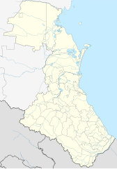
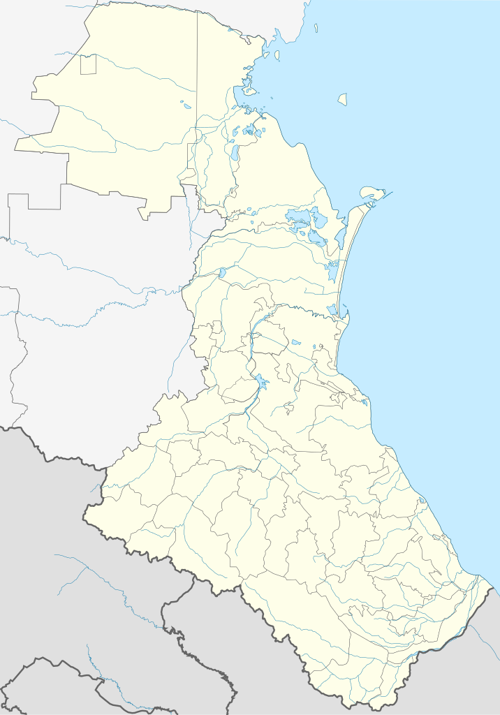
English: Dagestan location map
Equirectangular projection, N/S stretching 136.7 %. True scale parallel: 43°00' N. Geographic limits of the map:
|
| Date | |
| Source | Own work |
| Author | Das steinerne Herz |
| Other versions | Derivative works of this file: Russia Dagestan relief location map.png |
Licensing
I, the copyright holder of this work, hereby publish it under the following licenses:
This file is licensed under the Creative Commons Attribution-Share Alike 3.0 Unported license.
- You are free:
- to share – to copy, distribute and transmit the work
- to remix – to adapt the work
- Under the following conditions:
- attribution – You must give appropriate credit, provide a link to the license, and indicate if changes were made. You may do so in any reasonable manner, but not in any way that suggests the licensor endorses you or your use.
- share alike – If you remix, transform, or build upon the material, you must distribute your contributions under the same or compatible license as the original.

|
Permission is granted to copy, distribute and/or modify this document under the terms of the GNU Free Documentation License, Version 1.2 or any later version published by the Free Software Foundation; with no Invariant Sections, no Front-Cover Texts, and no Back-Cover Texts. A copy of the license is included in the section entitled GNU Free Documentation License. |
You may select the license of your choice.
File history
Click on a date/time to view the file as it appeared at that time.
| Date/Time | Thumbnail | Dimensions | User | Comment | |
|---|---|---|---|---|---|
| 14:25, 18 September 2011 |  | 2,000 × 2,860 (541 bytes) | Takhirgeran Umar | ошибка | |
| 14:15, 18 September 2011 |  | 2,000 × 2,860 (2 KB) | Takhirgeran Umar | Справил границу двух районов | |
| 12:45, 27 February 2011 |  | 744 × 1,064 (2.1 MB) | Das steinerne Herz | new version | |
| 00:50, 27 February 2011 |  | 744 × 1,064 (1.85 MB) | Das steinerne Herz | pre-test2 | |
| 00:47, 27 February 2011 |  | 744 × 1,064 (1.85 MB) | Das steinerne Herz | pre-test2 | |
| 00:34, 27 February 2011 |  | 744 × 1,064 (1.84 MB) | Das steinerne Herz | correction, pre-test | |
| 22:11, 26 February 2011 |  | 733 × 1,047 (2.07 MB) | Das steinerne Herz | {{Information |Description ={{en|1=Dagestan location map Equirectangular projection, N/S stretching 136.7 %. True scale parallel: 43°00' N. Geographic limits of the map: * N: 45.0° N * S: 41.17° N * W: 45.0° E * E: 48.67° E}} |Source ={{ow |
File usage
More than 100 pages use this file. The following list shows the first 100 pages that use this file only. A full list is available.
- 2002 Kaspiysk bombing
- 2012 Makhachkala attack
- 2014 Winter Olympics torch relay
- 2nd otdelenie sovkhoza
- Abdurashid, Dagestan
- Achi-Su
- Administrative divisions of Dagestan
- Agvali
- Akhsakadamakhi
- Akhty
- Akusha
- Alburikent
- Alikhanmakhi
- Ameterkmakhi
- Amukh
- Arsug
- Avadan, Dagestan
- Aynikabmakhi
- Balkhar
- Bavtugay
- Bedyuk
- Belidzhi
- Burgimakmakhi
- Burkikhan
- Burshag
- Butri, Republic of Dagestan
- Buynaksk
- Chankalamakhi
- Chinar, Russia
- Chinimakhi
- Chirag, Republic of Dagestan
- Dagestanskiye Ogni
- Derbent
- Dubki, Republic of Dagestan
- Duldug
- Endirey
- Fite, Republic of Dagestan
- Gapshima
- Geba, Republic of Dagestan
- Gerkhmakhi
- Gimry
- Gimry Tunnel
- Goa, Republic of Dagestan
- Gumramakhi
- Inzimakhi
- Izberbash
- Kadar, Russia
- Kakmakhi
- Kalininaul, Kazbekovsky District, Republic of Dagestan
- Karsha, Republic of Dagestan
- Kaspiysk
- Kasumkent
- Kedy
- Kertukmakhi
- Khasavyurt
- Khudig
- Khunzakh
- Khutkhul
- Kirovaul
- Kizilyurt
- Kizlyar
- Komsomolsky, Republic of Dagestan
- Kostek
- Kubachi (urban-type settlement)
- Kumukh
- Kurag, Republic of Dagestan
- Kurush, Dokuzparinsky District, Republic of Dagestan
- Kvanxidatl
- Kyakhulay
- Leninkent, Makhachkala, Republic of Dagestan
- Lutkun
- Makhachkala
- Mamedkala
- Manas (urban-type settlement)
- North Caucasian Federal District
- Novy Kyakhulay
- Novy Sulak
- Nyugdi, Russia
- Richa, Republic of Dagestan
- Semender
- Semgamakhi
- Shamilkala
- Shamkhal, Russia
- Shari, Agulsky District, Republic of Dagestan
- Sildi
- Sulak, Republic of Dagestan
- Tarki
- Tpig
- Tserkhimakhi
- Tsirkhe
- Tukhchar massacre
- Tyube
- Urgubamakhi
- Uytash Airport
- Uznimakhi
- Verkhniye Mulebki
- Yaraymakhi
- Yarkug
- Yuzhno-Sukhokumsk
- User:Benjamin Trovato/Icon collection
View more links to this file.
Global file usage
The following other wikis use this file:
- Usage on af.wikipedia.org
- Usage on ar.wikipedia.org
- Usage on av.wikipedia.org
- Дагъистан
- МахӀачхъала
- ЦӀобокь
- Сулахъ
- Шура
- Хубар
- Хунзахъ мухъ
- МелъелтӀа
- РикӀкӀвани
- СугъралӀ
- ЧӀарада мухъ
- Халип:БакӀКарта
- Халип:БакӀКарта Россия Дагъистан
- Халип:Бак1Карта/doc
- Дербендалъул ЖумгӀа мажгит
- ЖумгӀа мажгит (МахӀачхъала)
- МахӀачхъала (аэропорт)
- Гъебгъуда
- Къеди
- Хунзахъ
- ГӀаймаки
- ГӀахьалчӀи
- КӀудияб ГьоцӀалӀ
- Хьонохъ (ЦӀумада мухъ)
- ГӀириб
- Халип:БакӀКарта/doc
- Хьинуб
- Нукъуш
- Рулдаб
- ЦӀуриб
- Магъар
- ЦӀулда
- Цемер
- Доронуб
- ХӀурухъ
- Гьилиб
- Гьочоб
- Мугурухъ
- Рисиб
- ЛъаратӀа мухъ
- ГӀурада
- КӀкӀаратӀа
- Хьиндахъ (Хунзахъ мухъ)
- Коло
- ГӀарани
View more global usage of this file.