Newbigging, South Lanarkshire
Appearance
Newbigging
| |
|---|---|
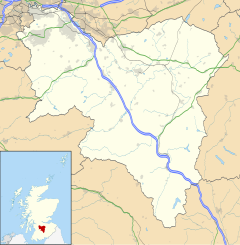
Location within South Lanarkshire | |
| OS grid reference | NT013458 |
| Council area | |
| Lieutenancy area | |
| Country | Scotland |
| Sovereign state | United Kingdom |
| Post town | LANARK |
| Postcode district | ML11 |
| Dialling code | 01555 |
| Police | Scotland |
| Fire | Scottish |
| Ambulance | Scottish |
| UK Parliament | |
| Scottish Parliament | |
Newbigging (Scots: Neebicken) is a hamlet in South Lanarkshire, Scotland.[1] It is near Dunsyre at the southern end of the Pentland Hills.[2] It is on the A72 Carnwath to Peebles road.
References
[edit]- ^ McClure, J. Derrick; Kirk, John M.; Storrie, Margaret Cochrane (2009). A Land that Lies Westward: Language and Culture in Islay and Argyll. J.Donald. p. 64. ISBN 978-1-906566-10-4.
- ^ "Newbigging, South Lanarkshire". OS GetOutside. Retrieved 10 October 2022.
Wikimedia Commons has media related to Newbigging, South Lanarkshire.


