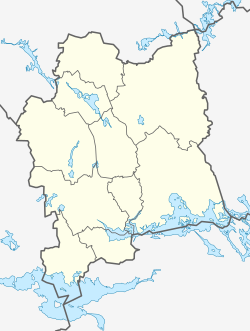
Ramnäs
Appearance
Ramnäs | |
|---|---|
 | |
| Coordinates: 59°46′N 16°12′E / 59.767°N 16.200°E | |
| Country | Sweden |
| Province | Västmanland |
| County | Västmanland County |
| Municipality | Surahammar Municipality |
| Area | |
| • Total | 2.14 km2 (0.83 sq mi) |
| Population (31 December 2010)[1] | |
| • Total | 1,465 |
| • Density | 686/km2 (1,780/sq mi) |
| Time zone | UTC+1 (CET) |
| • Summer (DST) | UTC+2 (CEST) |
Ramnäs (Swedish pronunciation: [ˈrâmːnɛːs] )[2] is a locality situated in Surahammar Municipality, Västmanland County, Sweden with 1,465 inhabitants in 2010.[1]
In 2014, the area around Ramnas saw the largest forest fire in Sweden in modern times.[3]

References
Wikimedia Commons has media related to Ramnäs.
- ^ a b c "Tätorternas landareal, folkmängd och invånare per km2 2005 och 2010" (in Swedish). Statistics Sweden. 14 December 2011. Archived from the original on 27 January 2012. Retrieved 10 January 2012.
- ^ Jöran Sahlgren; Gösta Bergman (1979). Svenska ortnamn med uttalsuppgifter (in Swedish). p. 20.
- ^ "King Carl Gustaf visits Ramna". Scandinavian Royalty.


