Jump to content

Alma, Prince Edward Island

Coordinates: 46°51′40″N 64°06′32″W / 46.861°N 64.109°W / 46.861; -64.109
From Wikipedia, the free encyclopedia

This is the current revision of this page, as edited by AquitaneHungerForce (talk | contribs) at 08:10, 16 February 2024. The present address (URL) is a permanent link to this version.

(diff) ← Previous revision | Latest revision (diff) | Newer revision → (diff)

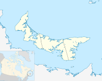
46°51′40″N 64°06′32″W / 46.861°N 64.109°W / 46.861; -64.109 Alma is a settlement in Prince Edward Island.

It is an unincorporated area located in Prince County in the western portion of Prince Edward Island, northwest of Alberton. Its precise location is N 46°52', W 64°07'.