Langsville, Ohio
Appearance

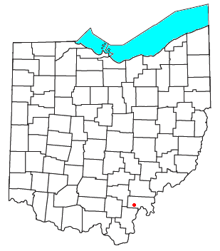
Langsville is an unincorporated community in western Rutland Township, Meigs County, Ohio, United States,[1] along Leading Creek.[2] Although it is unincorporated, it has the ZIP code 45741.[3]
Education
[edit]Public education in the community of Langsville is provided by the Meigs Local School District. Campuses serving the community include Meigs Primary School (Grades K-2), Meigs Intermediate School (Grades 3-5), Meigs Middle School (Grades 6-8), and Meigs High School (Grades 9-12).
References
[edit]- ^ U.S. Geological Survey Geographic Names Information System: Langsville, Ohio
- ^ Ohio Atlas & Gazetteer. Yarmouth, Maine: DeLorme. 1991. p. 80. ISBN 0-89933-233-1.
- ^ USPS – Cities by ZIP Code

