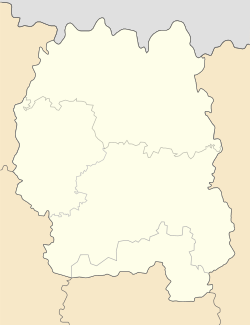
Hranitne, Zhytomyr Oblast
Appearance
Hranite
Гранітне | |
|---|---|
 Granite crushing plant in Hranitne | |
| Coordinates: 50°44′34″N 29°21′08″E / 50.7428°N 29.3522°E | |
| Country | |
| Oblast | |
| Raion | Zhytomyr Raion |
| Time zone | UTC+2 (EET) |
| • Summer (DST) | UTC+3 (EEST) |
Hranitne (Template:Lang-uk) is an urban-type settlement in Korosten Raion, Zhytomyr Oblast, Ukraine. It is located in an area containing reserves of granite, which provides Hranitne with an economy based on extraction and crushing of the stone for building use. Population: 1,344 (2022 estimate)[1] In 2001, population was 1,631.
References
- ^ Чисельність наявного населення України на 1 січня 2022 [Number of Present Population of Ukraine, as of January 1, 2022] (PDF) (in Ukrainian and English). Kyiv: State Statistics Service of Ukraine. Archived (PDF) from the original on 4 July 2022.


