Elb Adress
Appearance
Elb Adress
علب آدرس 'Elb Adres | |
|---|---|
Commune and village | |
| Coordinates: 17°35′24″N 14°26′53″W / 17.59000°N 14.44806°W | |
| Country | |
| Region | Trarza |
| Department | Boutilimit |
| Commune | Elb Adress |
| Population (2000) | |
| • Total | 3,427 |
| Time zone | UTC+0 (GMT) |
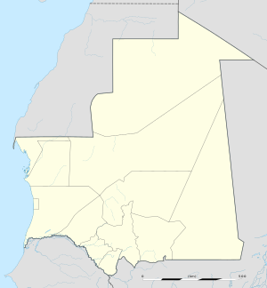
Elb Adress or 'Elb Adres[1] (Arabic: عِلْب آدْرِس) is a village and commune of Boutilimit in the Trarza Region of south-western Mauritania.
The commune includes the village of Elb Adress and the smaller satellite villages of El-Muhammediyya (Arabic: المحمدية), Yara (Arabic: يارا), Bou Sdeira (Arabic: بو سْدَيرة), El-Igda (Arabic: العِقدة), Invani or Invéni (Arabic: انْفَنِي), Bou Tleihiyya (Arabic: بو طْلَيحية), and El-Mara'a (Arabic: المرعى).
Population
[edit]According to the 2000 Mauritanian census, the commune of Elb Adress had 3,427 residents, of whom 1,816 were male and 1,611 female.[2]
According to the 2006 electoral census, the commune of Elb Adress has 6500 residents, of whom almost half lived in the village of Elb Adress.[citation needed]
References
[edit]- ^ Mauritania. Official Standard Names Gazetteer. Vol. 100. Washington, D.C.: United States Board on Geographic Names, Office of Geography, U.S. Department of the Interior. 1966. p. 46.
- ^ "Résultats prioritaires du troisième recensement général de la population et de l'habitat – 2000" (PDF) (in French). National Statistics Office, Ministry of Economic Affairs and Development, Islamic Republic of Mauritania. 2003.

