Dhaulagiri Zone
Appearance
Dhawalagiri Zone
धवलागिरी | |
|---|---|
Zone | |
 | |
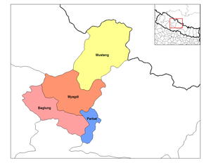
 Dhawalagiri Zone and its districts in Nepal | |
| Country | |
| Capital | Baglung |
| Area | |
| • Total | 3,146 sq mi (8,148 km2) |
| Population (2001) | |
| • Total | 556,191 |
| Time zone | UTC+5:45 (Nepal Time) |
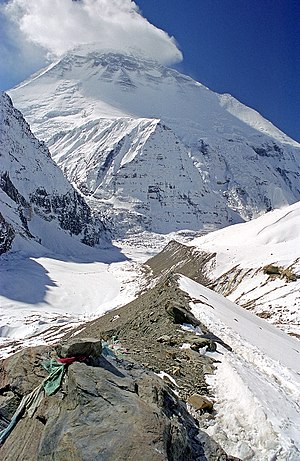
Dhawalagiri (or Dhaulagiri) is one of the fourteen zones of Nepal. It comes under the Western division of Nepal. Baglung is the headquarters of this zone. Famous trekking areas like Mustang, Muktinath, Kali Gandaki valley and Mt Dhaulagiri fall in this zone. Royal Dhorpatan Hunting Reserve, the only hunting reserve in Nepal is spread over Baglung and Myagdi districts of this Zone.
Dhawalagiri is divided into 4 districts, listed below with the headquarters in parentheses:

See also:
