A33 road
This article needs additional citations for verification. (January 2009) |
| A33 | |
|---|---|
 | |
| Major junctions | |
| From | Reading |
| To | Southampton |
| Location | |
| Country | United Kingdom |
| Primary destinations | Basingstoke Winchester |
| Road network | |


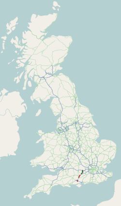
The A33 is a major road in England. The road formerly ran from Reading to Southampton, but now consists of three disjoint sections:
- Reading to Basingstoke
- The A30 road south of Basingstoke to just north of Winchester
- The southern end of the M3 motorway into the centre of Southampton, then along the city's Western Approach road to the roundabout at the southern end of the M271.[1]
Northern Section
The northern section, from Reading to Basingstoke, is mostly a single carriageway road. The dual carriageway section near Reading connects with the M4's junction 11 and was notorious for congestion. A two-year redevelopment scheme ran from early 2008 until well late 2010. It widen the northern section of the dual carriageway and significantly expanded and improved the motorway junction. The Mereoak roundabout south of the motorway was replaced with two separate junctions with traffic lights.
North of the motorway, the A33 now bypasses most of suburban Reading until it joins Reading's Inner Distribution Road where it ends. This section services the Kennet Island residential development, Madejski Stadium and GreenPark Business Park
Southern Section
The southern section, formerly one of the two trunk roads to Southampton, has been bypassed by the M3, and as part of the planning approval, the old A33 Winchester bypass (a notorious bottleneck with traffic lights) was torn up and restored to grass. This was subject to direct action protests at Twyford Down. The M3 was completed in 1994.
51°11′54″N 1°11′54″W / 51.19844°N 1.19837°W

