South America

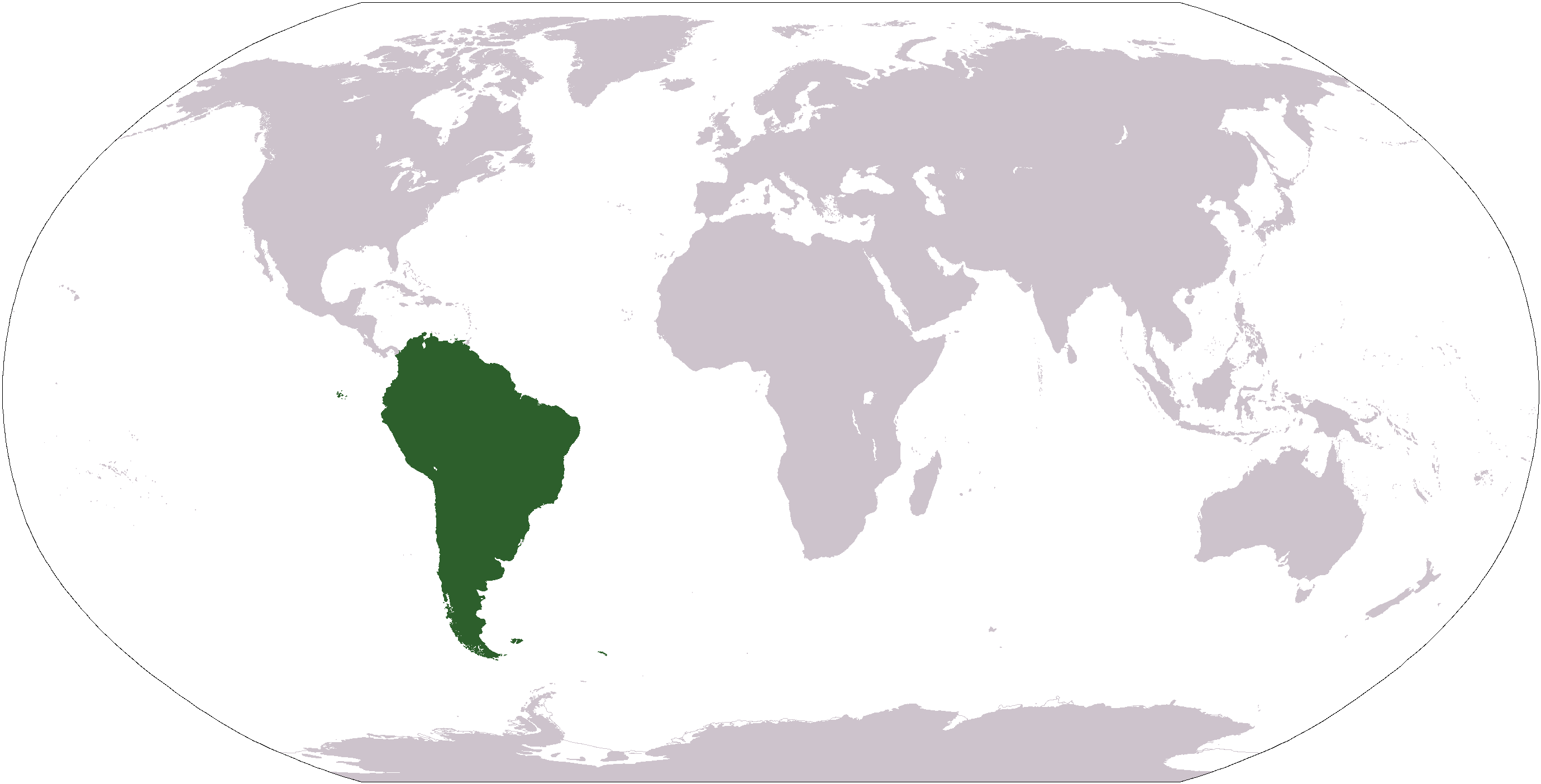
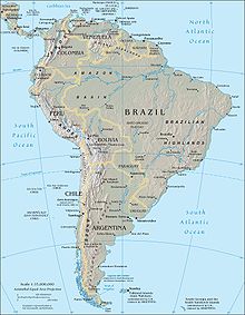
South America is a continent crossed by the equator, with most of its area in the Southern Hemisphere. South America is situated between the Pacific Ocean and the Atlantic Ocean. It became attached to North America only recently, geologically speaking, with the formation of the Isthmus of Panama. The Andes, likewise a comparatively young and seismically restless mountain range, run down the western edge of the continent; the land to the east of the Andes is largely tropical rain forest, the vast Amazon River basin.

South America ranks fourth in area, after Asia, Africa, and North America. In population, it ranks fifth, after Asia, Africa, Europe, and North America.
It is thought to have been first inhabited by humans crossing the Bering Land Bridge, now the Bering strait, though there are also suggestions of migration from the southern Pacific Ocean.
From the 1530s, the indigenous inhabitants of South America were subjugated by European invaders, first from Spain, later from Portugal, who divided it into colonies. In the course of the 19th century, these colonies won their independence. Nowadays, South America consists of the following twelve countries
and the following three non-independent territories:
- Falkland Islands (UK) (claimed by Argentina as Islas Malvinas)
- French Guiana (France)
- South Georgia and the South Sandwich Islands (UK)
The region of South America also includes various islands, most of which belong to countries on the continent. The Caribbean territories are grouped with North America. The largest country by far, in both area and population, is Brazil. Regions in South America include the Andean States, Guyana Highlands and Eastern South America.
List of countries/dependencies by population density (in inhabitants/km²)
Unlike the figures in the country articles, the figures in this table are based on areas including inland water bodies (lakes, reservoirs, rivers) and may therefore be lower here.
| country | pop. dens. | area | population |
|---|---|---|---|
| (/km²) | (km²) | (2002-07-01 est.) | |
| Ecuador | 47 | 283,560 | 13,447,494 |
| Colombia | 36 | 1,138,910 | 41,008,227 |
| Venezuela | 27 | 912,050 | 24,287,670 |
| Peru | 22 | 1,285,220 | 27,949,639 |
| Brazil | 21 | 8,511,965 | 176,029,560 |
| Chile | 20 | 756,950 | 15,498,930 |
| Uruguay | 19 | 176,220 | 3,386,575 |
| Paraguay | 14 | 406,750 | 5,884,491 |
| Argentina | 14 | 2,766,890 | 37,812,817 |
| Bolivia | 7.7 | 1,098,580 | 8,445,134 |
| Guyana | 3.2 | 214,970 | 698,209 |
| Suriname | 2.7 | 163,270 | 436,494 |
| French Guiana (Fr.) | 2.0 | 91,000 | 182,333 |
| Falkland Islands (UK) | 0.24 | 12,173 | 2,967 |
(Not included in the table are South Georgia and the South Sandwich Islands which have no permanent inhabitants, only temporary visitors to research stations.)
