
User:Sengkang/Gallery/Changi Planning Area
< User:Sengkang | Gallery
This is a catalogue of photographs that I have taken of Singapore geographical features, infrastructure and buildings in my leisure time. All images shown may be used anywhere in Wikipedia. Do drop me a note at my talk page if you intend to use them for other purposes. Thanks!
Changi Planning Area
[edit]
-
-

-

-

-
-

-

-

-

-

-

-
-
-
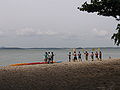
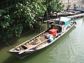
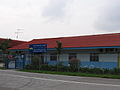 Changi Sea Sports Club
 -
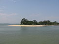
 Location of Pulau Sejahat


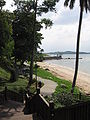
Changi Point
[edit]


-
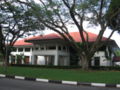
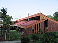
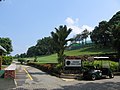 Changi Golf Club
 -
 Changi Golf Club
 -
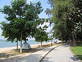
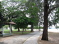
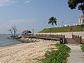
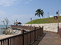
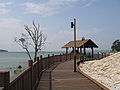
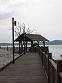
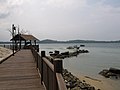
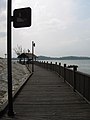
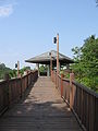
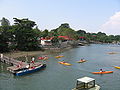
 Changi Point Coastal Walk
 -
 Changi Point Coastal Walk
 -
 Changi Point Coastal Walk
 -
 Changi Point Coastal Walk
 -
 Changi Point Coastal Walk
 -
 Changi Point Coastal Walk
 -
 Changi Point Coastal Walk
 -
 Changi Point Coastal Walk
 -
 Changi Point Coastal Walk
 -
 Changi Point Coastal Walk
 -
 Changi Point Coastal Walk
 -
 Changi Point Coastal Walk
 -
 Changi Point Coastal Walk
 -
 Changi Point Coastal Walk
 -
 Changi Point Coastal Walk
 -
 Changi Point Coastal Walk
 -
 Changi Point Coastal Walk
 -
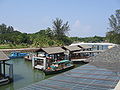
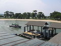
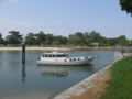
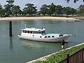
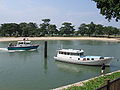
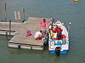
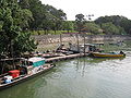
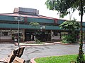
 Changi Point Ferry Terminal
 -
 Changi Point Ferry Terminal
 -
 Changi Point Ferry Terminal
 -
 Changi Point Ferry Terminal
 -
 Changi Point Ferry Terminal
 -
 Changi Point Ferry Terminal
 -
 Changi Point Ferry Terminal
 -
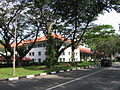
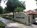 Civil Service Club, Changi Clubhouse
 -
 Civil Service Club, Changi Clubhouse
 -
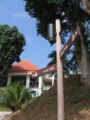
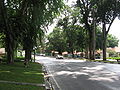
 Lorong Bekukong
 -
 Netheravon Road
 -
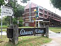
 SAF Holiday Bungalows
 -
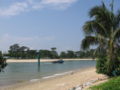
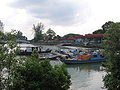
 Serangoon Harbour
 -
 Serangoon Harbour
 -
 Singapore Aviation Academy
 -
 Singapore Aviation Academy
 -
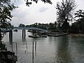
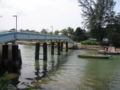
 Sungei Changi
 -
 Sungei Changi
 -
 Sungei Changi
 -
 Sungei Changi
 -
 Sungei Changi
 -
 Sungei Changi
 -
 Sungei Changi
 -
 Sungei Changi
 -
 Sungei Changi
 -
 Sungei Changi
 -
 Sungei Changi
 -
 Sungei Changi
 -
 Sungei Changi
 -
 Sungei Changi
 -
 Sungei Changi
 -
 Sungei Changi
 -
 Sungei Changi
 -
 Sungei Changi
 -
 Sungei Changi
 -
 Sungei Changi
 -
 Sungei Changi
 -
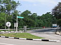 Telok Paku Road


-
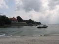
 Changi Village
 -
 Changi Village
 -
 Changi Village
 -
 Changi Village
 -
 Changi Village
 -
 Changi Village
 -
 Changi Village
 -
 Changi Village
 -
 Changi Village
 -
 Changi Village
 -
 Changi Village
 -
 Changi Village
 -
 Changi Village
 -
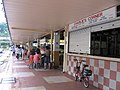
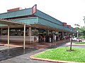
 Changi Village Bus Terminal
 -
 Changi Village Bus Terminal
 -
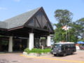
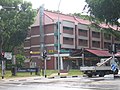
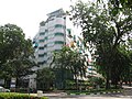 Changi Village Hotel
 -
 Changi Village Hotel
 -
 Changi Village Hotel
 -
 Changi Village Hotel
 -
 Changi Village Hotel
 -
 Changi Village Hotel


-
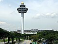
 Singapore Changi Airport, Control Tower
 -
 Singapore Changi Airport, Control Tower
 -
 Singapore Changi Airport, Control Tower
 -
 Singapore Changi Airport, Terminal 1
 -
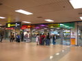
 Singapore Changi Airport, Terminal 1, Arrival Hall
 -
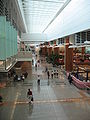
 Singapore Changi Airport, Terminal 1, Departure Hall
 -
 Singapore Changi Airport, Terminal 1, Departure Hall
 -
 Singapore Changi Airport, Terminal 1, Departure Hall
 -
 Singapore Changi Airport, Terminal 1, Departure Hall
 -
 Singapore Changi Airport, Terminal 1, Departure Hall
 -
 Singapore Changi Airport, Terminal 1, Departure Hall
 -
 Singapore Changi Airport, Terminal 1, Departure Hall
 -
 Singapore Changi Airport, Terminal 1, Drop-off foyer
 -
 Singapore Changi Airport, Terminal 1, Transit Lounge
 -
 Singapore Changi Airport, Terminal 1, Transit Lounge
 -
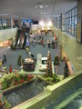
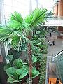
 Singapore Changi Airport, Terminal 1, Viewing Mall
 -
 Singapore Changi Airport, Terminal 1, Viewing Mall
 -
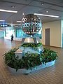 Singapore Changi Airport, Terminal 1, Viewing Mall
 -
 Singapore Changi Airport, Terminal 1, Viewing Mall, A340 airplane
 -
 Singapore Changi Airport, Terminal 1, Viewing Mall, Emirates airplane
 -
 Singapore Changi Airport, Terminal 1, Viewing Mall, Jetstar Asia Airways airplane
 -
 Singapore Changi Airport, Terminal 1, Viewing Mall, Singapore Airlines airplane
 -
 Singapore Changi Airport, Terminal 2
 -
 Singapore Changi Airport, Terminal 2, Arrival Hall
 -
 Singapore Changi Airport, Terminal 2, Departure Hall
 -
 Singapore Changi Airport, Terminal 2, Departure Hall
 -
 Singapore Changi Airport, Terminal 2, Departure Hall
 -
 Singapore Changi Airport, Terminal 2, Departure Hall
 -
 Singapore Changi Airport, Terminal 2, Departure Hall
 -
 Singapore Changi Airport, Terminal 2, Departure Hall
 -
 Singapore Changi Airport, Terminal 2, Drop-off foyer
 -
 Singapore Changi Airport, Terminal 2, Drop-off foyer
 -
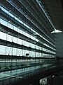
 Singapore Changi Airport, Terminal 2, Glass wall and ceiling
 -
 Singapore Changi Airport, Terminal 2, Glass wall
 -
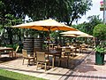
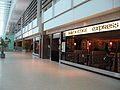 Singapore Changi Airport, Terminal 2, Restaurants
 -
 Singapore Changi Airport, Terminal 2, Sky train terminal
 -
 Singapore Changi Airport, Terminal 2


