
New York State Route 382
New York State Route 382 | ||||
|---|---|---|---|---|
| Route information | ||||
| Maintained by NYSDOT | ||||
| Length | 0.8 mi[1] (1,300 m) | |||
| Existed | 1930s[2][3]–1970s[4][5] | |||
| Location | ||||
| Country | United States | |||
| State | New York | |||
| Counties | Cattaraugus | |||
| Highway system | ||||
| ||||

New York State Route 382 was a state highway in the town of Red House in Cattaraugus County, New York. The highway, only 0.8 miles (1.3 km) in length, extended from NY 17 to the Red House entrance of Allegany State Park. The route was assigned in the 1930s and removed in the 1970s following the construction of Southern Tier Expressway exit 19. The NY 382 designation, now unused, is reserved by the New York State Department of Transportation as a future designation for NY 88.
Route description
Route 382 began at an intersection with then-NY 17 in the hamlet of Red House. The highway began heading eastward, passing to the south and to the north of mountains, which peaked at 2,200 feet (670 m) high.[6] Route 382 terminated at the Allegany State Park limits, where it continued as Allegany State Park Route 2 to the Pennsylvania border.[4][7]
History
Route 382 was assigned in the early to mid-1930s to a short roadway linking NY 17 to Allegany State Park's Red House entrance.[2][3] This remained intact until the early 1970s when the roadway was severed from the interior of Allegany State Park due to the construction of Southern Tier Expressway exit 19. The 382 designation was removed as a result.[4][5] What remains of NY 382 is now a local access road for the Allegany Indian Reservation and the Allegheny Reservoir.[1] The NY 382 designation is reserved by the New York State Department of Transportation for future use along what is currently NY 88 in Wayne and Ontario Counties. Currently, NY 88 shares a numerical designation with Interstate 88, an Interstate Highway in eastern New York.[8]
Major intersections
| County | Location | mi[1] | km | Destinations | Notes |
|---|---|---|---|---|---|
| Cattaraugus | Red House | 0.0 | 0.0 | ||
| 0.8 | 1.3 | Allegany State Park Route 2 | Continuation into Allegany State Park | ||
| 1.000 mi = 1.609 km; 1.000 km = 0.621 mi | |||||
See also
References
- ^ a b c Google (2008-04-24). "New York State Route 382" (Map). Google Maps. Google. Retrieved 2008-04-24.
- ^ a b Tourist Map of Pennsylvania (PDF) (Map). Pennsylvania Department of Highways. 1930. Retrieved 2008-04-24.
- ^ a b Road Map & Historical Guide - New York (Map). Cartography by Rand McNally and Company. Sun Oil Company. 1935.
- ^ a b c State of New York Department of Transportation (1970-01-01). "Official Description of Touring Routes in New York State" (PDF). Retrieved 2008-04-24.
{{cite web}}: Check date values in:|date=(help) - ^ a b New York and New Jersey Tourgide Map (Map). Cartography by Rand McNally and Company. Gulf. 1974.
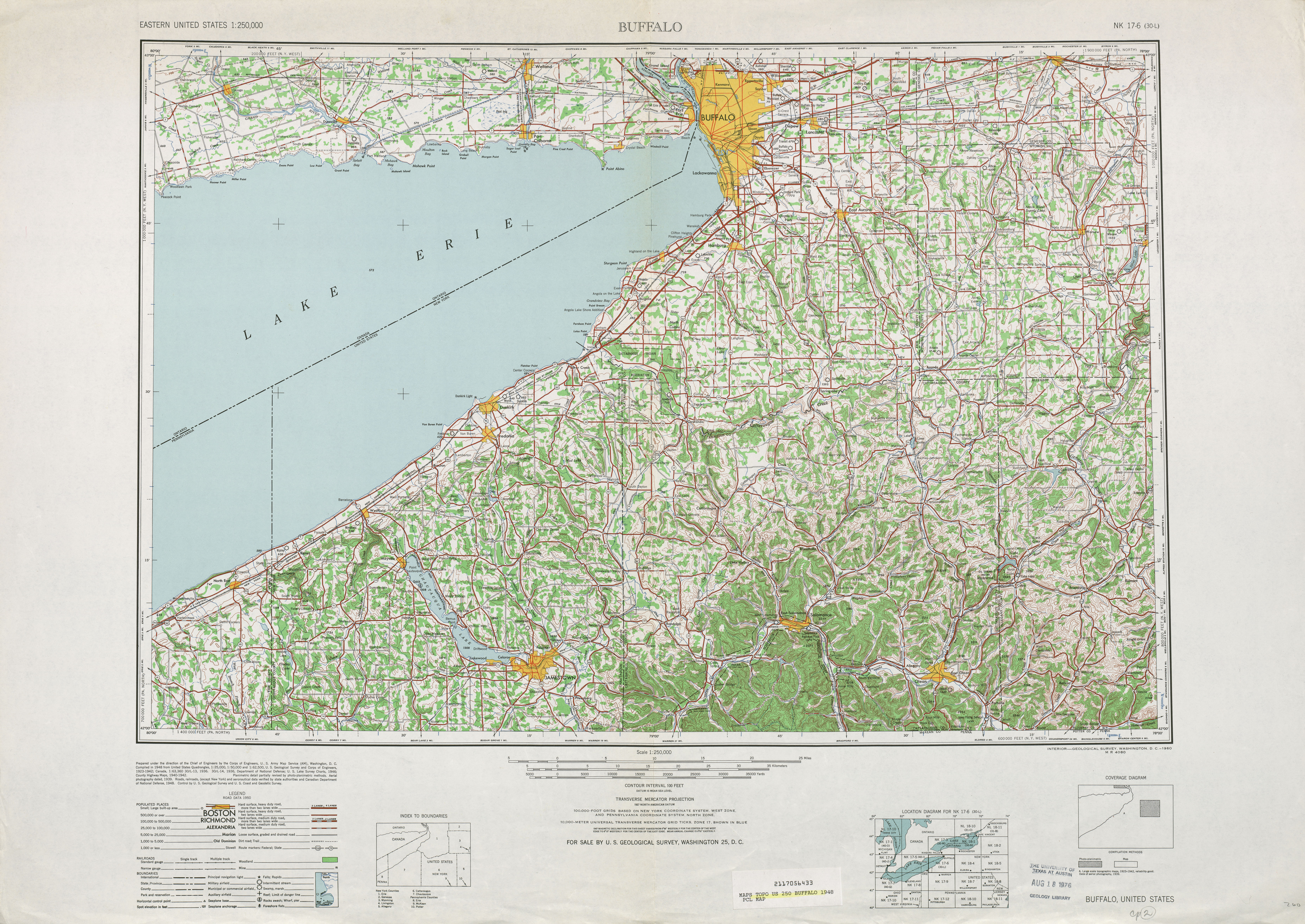
- ^ 1:250,000 series topos - Buffalo 1948 (Map). United States Geological Survey. 1948. Retrieved 2008-04-10.
- ^ Official Map of Pennsylvania (PDF) (Map). Pennsylvania Department of Highways. 1960. Retrieved 2008-04-24.
- ^ New York State Department of Transportation (October 2007). "Official Description of Highway Touring Routes, Bicycling Touring Routes, Scenic Byways, & Commemorative/Memorial Designations in New York State" (PDF). Retrieved 2008-04-10.