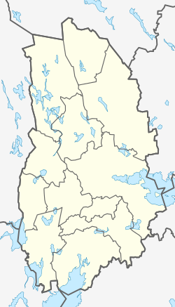
Åtorp
Appearance
Åtorp | |
|---|---|
 | |
| Coordinates: 59°07′N 14°21′E / 59.117°N 14.350°E | |
| Country | Sweden |
| Province | Värmland and Närke |
| County | Örebro County |
| Municipality | Degerfors Municipality |
| Area | |
| • Total | 0.28 km2 (0.11 sq mi) |
| Population (31 December 2010)[1] | |
| • Total | 212 |
| • Density | 752/km2 (1,950/sq mi) |
| Time zone | UTC+1 (CET) |
| • Summer (DST) | UTC+2 (CEST) |
Åtorp is a locality situated in Degerfors Municipality, Örebro County, Sweden with 212 inhabitants in 2010. The river that rans along Åtorp is called Letälven. [1]
References
- ^ a b c "Tätorternas landareal, folkmängd och invånare per km2 2005 och 2010" (in Swedish). Statistics Sweden. 14 December 2011. Archived from the original on 10 January 2012. Retrieved 10 January 2012.
{{cite web}}: Unknown parameter|deadurl=ignored (|url-status=suggested) (help)


