Irkhu
Appearance
Irkhu
इर्खु | |
|---|---|
City | |
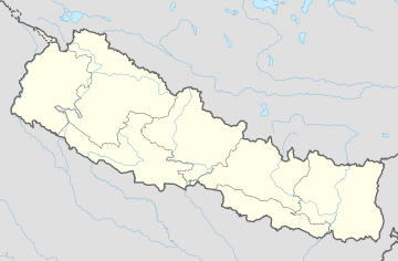
| Coordinates: 27°44′N 85°44′E / 27.74°N 85.74°E | |
| Country | |
| Zone | Bagmati Zone |
| District | Sindhupalchok District |
| Population (1991) | |
• Total | 2,628 |
| • Religions | Hindu |
| Time zone | UTC+5:45 (Nepal Time) |
Irkhu is a village and market center of Chautara Sangachowkgadi Municipality in Sindhupalchok District in the Bagmati Zone of central Nepal. The formerly Village Development Committee was merged to the new Municipality in 2017. At the time of the 1991 Nepal census it had a population of 2628 and had 480 houses in the village.[1]
References
- ^ "Nepal Census 2001". Nepal's Village Development Committees. Digital Himalaya. Archived from the original on 12 December 2008. Retrieved 24 August 2008.
{{cite web}}:|archive-date=/|archive-url=timestamp mismatch; 12 October 2008 suggested (help)


