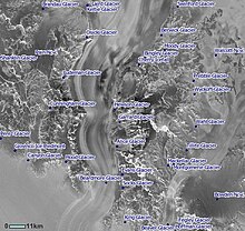
Berwick Glacier

Berwick Glacier (84°36′S 165°45′E / 84.600°S 165.750°E) is a tributary glacier, 14 nautical miles (26 km) long, flowing southeast between the Marshall Mountains and the Adams Mountains to enter Beardmore Glacier at Willey Point in Antarctica. It was named by the British Antarctic Expedition, 1907–09, (BrAE) after HMS Berwick, a vessel on which Lieutenant Jameson B. Adams of the BrAE had served. The map of the British Antarctic Expedition, 1910–13, and some subsequent maps transpose the positions of Berwick Glacier and Swinford Glacier. The latter lies 12 nautical miles (22 km) southwestward, and the original 1907–09 application of Berwick Glacier is the one recommended.[1]
References
![]() This article incorporates public domain material from "Berwick Glacier". Geographic Names Information System. United States Geological Survey.
This article incorporates public domain material from "Berwick Glacier". Geographic Names Information System. United States Geological Survey.
