
Carstensz East
This article needs additional citations for verification. (January 2021) |
| Carstensz East | |
|---|---|
| East Carstensz Top | |
 | |
| Highest point | |
| Elevation | 4,820 m (15,810 ft) |
| Prominence | 280 m (920 ft) |
| Coordinates | 4°05′00″S 137°17′22″E / 4.08333°S 137.28944°E |
| Geography | |
 Carstensz East Location in Papua | |
| Location | Papua Province, Indonesia |
| Parent range | Sudirman Range |
| Climbing | |
| First ascent | 5 December 1936 |
| Easiest route | rock/snow climb |
Carstensz East (or East Carstensz Top, Carstensz Oriental, Carstensz Timor [1]) is a sub peak of Puncak Jaya (or Carstensz Pyramid). It contains a small glacier like its nearby neighbors, but it is retreating rapidly.
Google Maps is calling Carstensz East alternatively Puncak Jaya Wijaya.
References
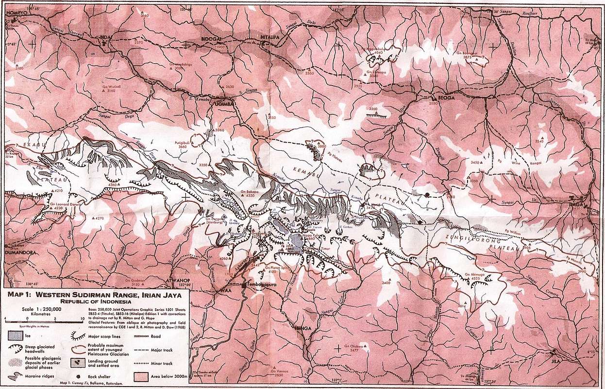
- ^ Map of Western Sudirman Range, part of post Puncak Jaya and surrounding mountains.
This Papua location article is a stub. You can help Wikipedia by expanding it. |