Esparragosa de Lares
Appearance
Esparragosa de Lares | |
|---|---|
Municipality | |
 | |
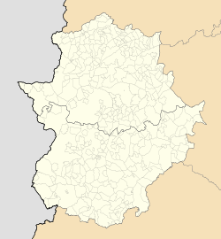
Location of Esparragosa de Lares within Extremadura | |
| Coordinates: 38°58′32″N 5°16′13″W / 38.97556°N 5.27028°W | |
| Country | |
| Autonomous Community | |
| Province | Badajoz |
| Comarca | La Siberia |
| Government | |
| • Mayor | Fernando García Arévalo (PP-EU) |
| Area | |
• Total | 207 km2 (80 sq mi) |
| Elevation (AMSL) | 473 m (1,552 ft) |
| Population (2018)[1] | |
• Total | 938 |
| • Density | 4.5/km2 (12/sq mi) |
| Time zone | UTC+1 (CET) |
| • Summer (DST) | UTC+2 (CEST (GMT +2)) |
| Postal code | 06620 |
| Area code | +34 (Spain) + 924 (Badajoz) |
Esparragosa de Lares is a municipality in the province of Badajoz, Extremadura, Spain. It has a population of 1,066 and an area of 209 km².
References
- ^ Municipal Register of Spain 2018. National Statistics Institute.
38°58′30″N 5°16′0″W / 38.97500°N 5.26667°W

