Laguna Garzón
Appearance
| Laguna Garzón | |
|---|---|
 Sunset on Laguna Garzón | |
| Location | Maldonado Department Rocha Department, Uruguay |
| Coordinates | 34°46′00″S 54°33′00″W / 34.76667°S 54.55000°W |
| Surface area | 18 square kilometres (6.9 sq mi) |
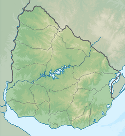
Laguna José Ignacio (José Ignacio Lagoon) is a body of water located between Maldonado Department and Rocha Department, Uruguay.
A sandbank separates it from the Atlantic Ocean. This coastal lagoon was previously served by a small 2-vehicle ferry that required daylight and good weather to operate; in December 2015, the Laguna Garzón Bridge on Route 10 was opened to vehicular traffic, providing a crossing for pedestrians and up to approximately 1,000 vehicles a day.[1]
A birdwatching site, it was designated part of the National System of Protected Areas in Uruguay.[2]
The nearest famous seaside resort is José Ignacio.
References
- ^ "Circular bridge by Rafael Viñoly spans Uruguay lagoon". Dezeen. 19 January 2016.
- ^ "Propuesta de ingreso del área protegida Laguna Garzón al Sistema Nacional de Áreas Protegidas" (PDF) (in Spanish). Dirección Nacional de Medio Ambiente-Ministerio de Vivienda Ordenamiento Territorial y Medio Ambiente. December 2011. Archived from the original (pdf) on 12 December 2013. Retrieved 9 December 2013.
External links
Wikimedia Commons has media related to Laguna Garzón.


