Kathola railway station
Appearance
Kathola | |||||
|---|---|---|---|---|---|
| Indian Railways station | |||||
| General information | |||||
| Location | Barui Link Road, Nakahi, Kathola, Gonda district, Uttar Pradesh India | ||||
| Coordinates | 27°08′48″N 81°51′20″E / 27.146556°N 81.855663°E | ||||
| Elevation | 109 metres (358 ft) | ||||
| Owned by | Indian Railways | ||||
| Line(s) | Lucknow–Gorakhpur line | ||||
| Platforms | 2 | ||||
| Tracks | 2 | ||||
| Construction | |||||
| Structure type | Standard (on ground) | ||||
| Parking | Yes | ||||
| Other information | |||||
| Status | Functioning | ||||
| Station code | KTHL | ||||
| Zone(s) | North Eastern Railway zone | ||||
| Division(s) | Lucknow NER | ||||
| History | |||||
| Electrified | Yes | ||||
| |||||
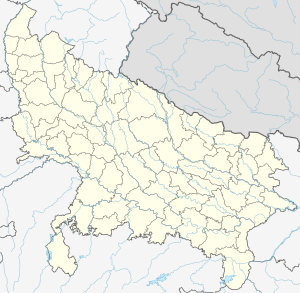
Kathola railway station is a railway station on Lucknow–Gorakhpur line under the Lucknow NER railway division of North Eastern Railway zone. This is situated beside Barui Link Road at Nakahi, Kathola in Gonda district in the Indian state of Uttar Pradesh.[1][2]
References
- ^ Sharan, Prabhat. "Kathola Railway Station Map/Atlas NER/North Eastern Zone - Railway Enquiry". indiarailinfo.com. Retrieved 2021-06-03.
- ^ "Kathola Railway Station (KTHL) : Station Code, Time Table, Map, Enquiry". www.ndtv.com. Retrieved 2021-06-03.
| Preceding station | Following station | |||
|---|---|---|---|---|
| Gonda Kachahri towards ?
|
North Eastern Railway zone | Maijapur towards ?
| ||


