Pettinain
Appearance
| Pettinain | |
|---|---|
 Pettinain Church | |
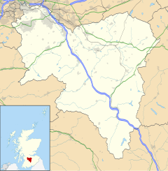
Location within South Lanarkshire | |
| OS grid reference | NS953426 |
| Council area | |
| Lieutenancy area | |
| Country | Scotland |
| Sovereign state | United Kingdom |
| Post town | LANARK |
| Postcode district | ML11 |
| Police | Scotland |
| Fire | Scottish |
| Ambulance | Scottish |
| UK Parliament | |
| Scottish Parliament | |
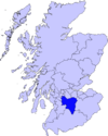
Pettinain is a hamlet[1] and civil parish[2] in South Lanarkshire, Scotland, 7 miles (11 km) east of Lanark. Bartholomew's Gazetteer of the British Isles described Pettinain in 1887 as "par. and vil., Lanarkshire, on river Clyde - par., 3900 ac., pop. 360; vil., 3 miles S. of Carstairs Junction; P.O".[3]
Notable residents
References
- ^ "Pettinain". Gazetteer for Scotland. Retrieved 14 September 2017.
- ^ "Parish of Pettinain". Gazetteer for Scotland. Retrieved 14 September 2017.
- ^ "History of Pettinain in South Lanarkshire". A Vision of Britain. Retrieved 14 September 2017.


