Lac Chauvet
Appearance
| Lac Chauvet | |
|---|---|
 | |
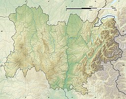
Location in Auvergne-Rhône-Alpes region | |
| Location | Picherande, Puy-de-Dôme |
| Coordinates | 45°27′36″N 2°49′51″E / 45.46000°N 2.83083°E |
| Type | maar |
| Basin countries | France |
| Surface area | 0.54 km2 (0.21 sq mi) |
| Max. depth | 86 m (282 ft) |
| Surface elevation | 1,176 m (3,858 ft) |
Lac Chauvet is a lake in Picherande, Puy-de-Dôme, France. At an elevation of 1176 m, its surface area is 0.54 km².[1]
References
[edit]- ^ Lac Chauvet eauvergnat.fr French source. Retrieved on 2015-09-05.
External links
[edit] Media related to Lac Chauvet at Wikimedia Commons

