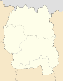
Hrozyne
Appearance
Hrozyne
Грозине | |
|---|---|
| Coordinates: 50°57′32″N 28°43′50″E / 50.95889°N 28.73056°E | |
| Country | |
| Oblast | |
| Raion | Korosten |
| Area | 0.956 km2 (0.369 sq mi) |
| Elevation | 170 m (560 ft) |
| Population | 1,225 |
| • Density | 1,300/km2 (3,300/sq mi) |
| Time zone | UTC+2 (EET) |
| • Summer (DST) | UTC+3 (EEST) |
| Postal code | 11542 |
| Area code | +380 4142 |
Hrozyne (Template:Lang-uk) is a Ukrainian village in Korosten Raion (district) of Zhytomyr Oblast (province). Agricultural Institute of Polesia is located in the village.
Wikimedia Commons has media related to Hrozyne.


