Ouanary Airstrip
Appearance
Ouanary Airport | |||||||||||
|---|---|---|---|---|---|---|---|---|---|---|---|
| Summary | |||||||||||
| Serves | Ouanary, French Guiana | ||||||||||
| Elevation AMSL | 40 ft / 12 m | ||||||||||
| Coordinates | 4°12′40″N 51°40′00″W / 4.21111°N 51.66667°W | ||||||||||
| Map | |||||||||||
 | |||||||||||
| Runways | |||||||||||
| |||||||||||
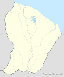
Ouanary Airport is an airport serving Ouanary, a commune of French Guiana near its eastern border with Brazil. The village is on the Ournary River, 2.5 kilometres (1.6 mi) upstream from its entry into the Atlantic Ocean.
See also
[edit]References
[edit]External links
[edit]

