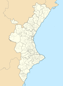
Higueras
Appearance
Higueras | |
|---|---|
 | |
| Coordinates: 39°59′03.47″N 0°30′06.27″W / 39.9842972°N 0.5017417°W | |
| Country | |
| Community | |
| Province | |
| Comarca | Alto Palancia |
| Government | |
| • Mayor | Francisco Gimeno Torregrosa[1] |
| Area | |
• Total | 11.80 km2 (4.56 sq mi) |
| Elevation | 671 m (2,201 ft) |
| Population (2018)[2] | |
• Total | 62 |
| • Density | 5.3/km2 (14/sq mi) |
| Demonym | Higuereño/a |
| Postal code | 12449 |
| Website | Official website |
Higueras is a Spanish municipality in the comarca of Alto Palancia, in the Province of Castellón, Valencian Community. In 2015, the population was 91.
History
[edit]The village was first mentioned in the 13th century as Torre de la Higuera.
Geography
[edit]The municipality, part of the judicial district of Segorbe, borders with Caudiel, Montán, Pavías and Torralba del Pinar.[3] The town has an elevation of 2,201 feet (671 m).
Demographics
[edit]
References
[edit]- ^ (in Spanish) List of mayors of Higueras (municipal website)
- ^ Municipal Register of Spain 2018. National Statistics Institute.
- ^ 346297 Higueras on OpenStreetMap
External links
[edit]![]() Media related to Higueras at Wikimedia Commons
Media related to Higueras at Wikimedia Commons
- (in Spanish) Higueras official website


